Transport Functions
Rail
Road
Hub Profile
Place type
Populated place
Region
Minas Gerais
Population
219,132
Time zone
America/Sao_Paulo
Elevation
760 m
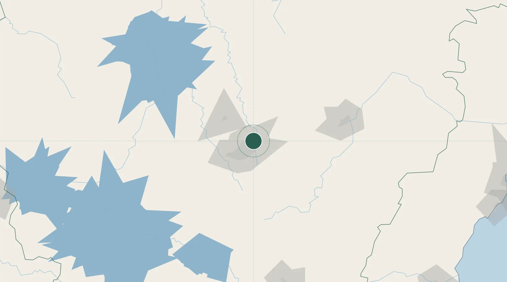
Location
Nearby Logistics Neighbours
Cities
- 1Vespasiano12 km
- 2Belo Horizonte20 km
- 3Pedro Leopoldo25 km
- 4Contagem29 km
- 5Matozinhos34 km
Ports
- 1Niteroi355 km
- 2Rio De Janeiro356 km
- 3Macae361 km
- 4Angra Dos Reis365 km
- 5Vitoria372 km
Airports
Trade Zones
- 1ZPE de Teófilo Otoni (MG)327 km
- 2ZPE de Itaguaí (RJ)349 km
- 3ZPE do Açú (RJ)372 km
- 4ZPE de Aracruz (ES)398 km
- 5ZPE de Uberaba (MG)433 km
DatabookThe Record of Consolidated Knowledge
Brazil beyond logistics?