Medium airport · Argentina
Villa Dolores AirportSAOD
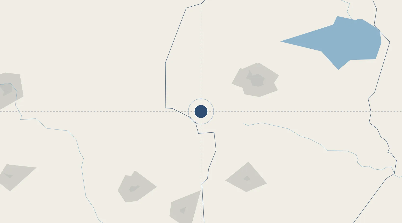
-31.9452°, -65.1463°
4,593 ft
Longest runway
1
Runways
1,847 ft
Elevation
Runway & Layout

Radio Frequencies
RDO
118.1 MHz
Navaids
LDR NDB Villa Dolores 310 kHz
Runways · 1
| Runway | Dimensions | Surface | True heading | Lit |
|---|---|---|---|---|
| 17/35 | 4,593 × 75ft | Asphalt | 176° | ✓ |
Airport Specifications
IATA code
VDR
ICAO code
SAOD
Airport class
Medium airport
Scheduled service
No
Runway surface
Asphalt
Served city
Villa Dolores
Location
Nearby Logistics Neighbours
Airports
Cities
- 1Río Tercero100 km
- 2Juárez Celman120 km
- 3Milagro130 km
- 4La Toma131 km
- 5Monte Cristo131 km
Ports
- 1Santa Fe422 km
- 2Puerto San Martin423 km
- 3San Lorenzo424 km
- 4Diamante424 km
- 5Parana437 km
Trade Zones
- 1Córdoba Free Trade Zone117 km
- 2Zona Franca de San Luis210 km
- 3Justo Daract Free Trade Zone210 km
- 4Zona Franca Mendoza Free Trade Zone380 km
- 5General Pico Free Zone434 km
DatabookThe Record of Consolidated Knowledge
Argentina beyond logistics?