Transport Functions
Multimodal
Hub Profile
Place type
Provincial seat
Region
Buenos Aires
Time zone
America/Argentina/Buenos_Aires
Elevation
26 m
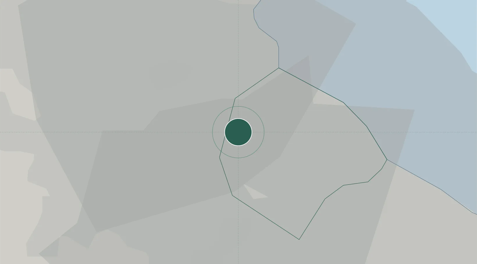
Location
Nearby Logistics Neighbours
Cities
- 1Pablo Podestá2 km
- 2Villa Bosch5 km
- 3San Justo6 km
- 4Mataderos6 km
- 5Vicente López12 km
Ports
- 1Buenos Aires15 km
- 2La Plata64 km
- 3Colonia65 km
- 4Campana65 km
- 5Zarate75 km
Airports
Trade Zones
- 1Zona Sur Buenos Aires4 km
- 2Montes de Plata Free Zone62 km
- 3La Plata Free Trade Zone63 km
- 4Colonia Free Zone66 km
- 5Nueva Palmira Free Zone82 km
DatabookThe Record of Consolidated Knowledge
Argentina beyond logistics?