ECOzone · Philippines

AG&P Special Economic Zone Active
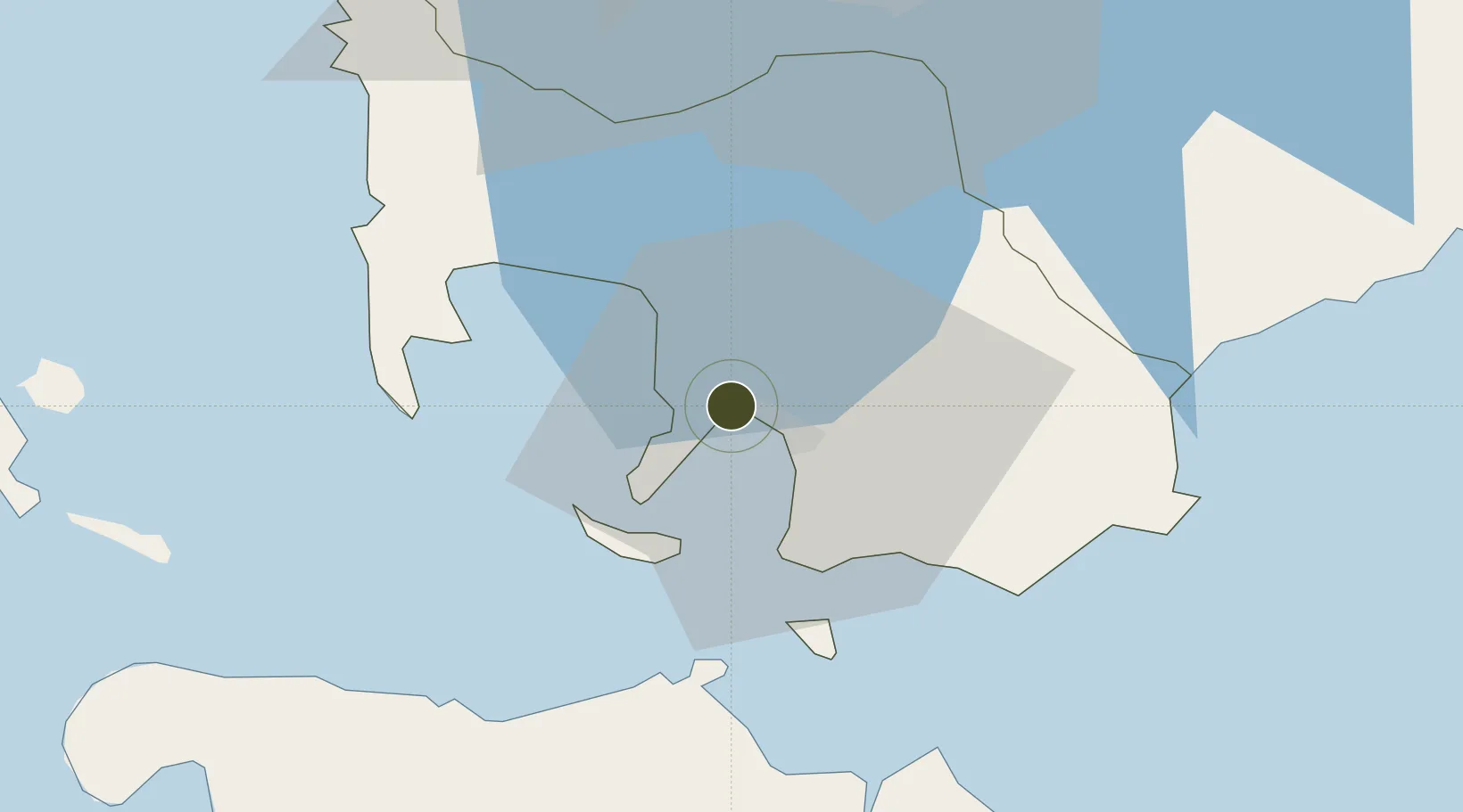
13.7880°, 120.9873°
39 ha
Zone area
8.0 km
Nearest port
76.6 km
Nearest airport

Gateway access

Nearest neighbours — logibook spatial index (haversine) over the source coordinates

Zone profile

Zone type
ECOzone
the World Bank SEZ database
Specialization
Energy
the World Bank SEZ database
Region
Batangas
the World Bank SEZ database
Status
Active
the World Bank SEZ database
Established
2008
the World Bank SEZ database
Management
Private management
the World Bank SEZ database
Operator
Altlantic Gulf & Pacific Co. of Manila, Inc.
the World Bank SEZ database
Regulatory authority
Philippines Economic Zone Authority
the World Bank SEZ database
Legal framework
Special Economic Zone Act
the World Bank SEZ database

Location

Location of PHL35
Natural Earth 10m (public domain) · Batangas · PHL35 · 13.79, 120.99GoogleOSMYandex

Fiscal & incentives

Corporate tax
30%
the World Bank SEZ database
Tax relief
100% exempt
the World Bank SEZ database
Relief duration
4-8 years
the World Bank SEZ database
VAT
100% exempt from VAT on utility charges
the World Bank SEZ database
Import duty (inputs)
100% exempt
the World Bank SEZ database
Import duty (capex)
100% exempt
the World Bank SEZ database
Profit repatriation
No exemption
the World Bank SEZ database
Capital gains
No exemption
the World Bank SEZ database
Withholding tax
100% exempt from withholding tax
the World Bank SEZ database
Min. investment
None
the World Bank SEZ database
Min. export
70% for manufacturing and IT industries
the World Bank SEZ database
Employment incentive
No exemption
the World Bank SEZ database
Developer incentive
Yes
the World Bank SEZ database

Nearby Logistics Neighbours

Ports
  1. 1Batangas City8 km
  2. 2Calapan46 km
  3. 3Nasugbu52 km
  4. 4Manila89 km
  5. 5Mariveles90 km
Nearest neighbours — logibook spatial index (haversine) over the source coordinates
Airports
  1. 1Mamburao Airport77 km
  2. 2Danilo Atienza Air Base79 km
  3. 3Ninoy Aquino International Airport80 km
  4. 4Lubang Airport96 km
  5. 5Marinduque Airport102 km
Nearest neighbours — logibook spatial index (haversine) over the source coordinates
Cities
  1. 1Bauan/Batangas2 km
  2. 2Batangas/Luzon15 km
  3. 3Puerto Galera33 km
  4. 4Tanauan36 km
  5. 5Candelaria49 km
Nearest neighbours — logibook spatial index (haversine) over the source coordinates
Trade Zones
  1. 1Keppel Philippines Marine Special Economic Zone2 km
  2. 2CIIF Agro-Industrial Park - Legazpi3 km
  3. 3Cocochem Agro-Industrial Park3 km
  4. 4AG&P Special Economic Zone II7 km
  5. 5NUCITI Central Mall8 km
Nearest neighbours — logibook spatial index (haversine) over the source coordinates
DatabookThe Record of Consolidated Knowledge
Philippines beyond logistics?
Browse databook

All Sources

Trade Zonesthe World Bank SEZ database
CC BY 4.0
Portsthe NGA World Port Index
Public domain (US gov)
AirportsOurAirports
Public domain
LocationsUN/LOCODE
UN/LOCODE — free
← Philippines trade zones