Specialized Zone · Philippines

CIIF Agro-Industrial Park - Legazpi Active
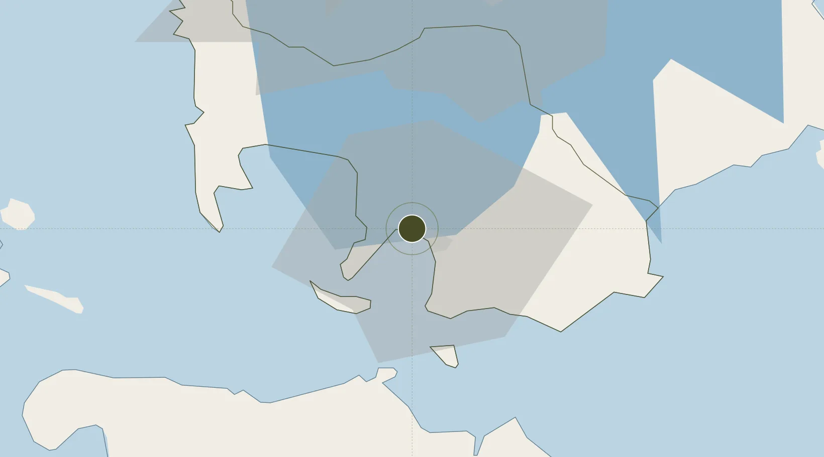
13.7817°, 121.0106°
42 ha
Zone area
5.5 km
Nearest port
77.4 km
Nearest airport

Gateway access

Nearest neighbours — logibook spatial index (haversine) over the source coordinates

Zone profile

Zone type
Specialized Zone
Open Zone Map
Specialization
Agriculture
Open Zone Map
Region
Batangas
Open Zone Map
Status
Active
Open Zone Map
Management
Private
Open Zone Map
Operator
CIIF Agro-Industrial Park, Inc.
Open Zone Map
Legal framework
Special Economic Zone Act (Republic Act No. 7916) (as amended by Republic Act No. 8748)
Open Zone Map

Location

Location of ozm-3356
Natural Earth 10m (public domain) · Batangas · ozm-3356 · 13.78, 121.01GoogleOSMYandex

Nearby Logistics Neighbours

Ports
  1. 1Batangas City6 km
  2. 2Calapan45 km
  3. 3Nasugbu54 km
  4. 4Manila89 km
  5. 5Mariveles92 km
Nearest neighbours — logibook spatial index (haversine) over the source coordinates
Airports
  1. 1Mamburao Airport77 km
  2. 2Danilo Atienza Air Base80 km
  3. 3Ninoy Aquino International Airport81 km
  4. 4Lubang Airport98 km
  5. 5Marinduque Airport100 km
Nearest neighbours — logibook spatial index (haversine) over the source coordinates
Cities
  1. 1Bauan/Batangas2 km
  2. 2Batangas/Luzon14 km
  3. 3Puerto Galera32 km
  4. 4Tanauan35 km
  5. 5Candelaria46 km
Nearest neighbours — logibook spatial index (haversine) over the source coordinates
Trade Zones
  1. 1Cocochem Agro-Industrial Park0 km
  2. 2Keppel Philippines Marine Special Economic Zone0 km
  3. 3AG&P Special Economic Zone3 km
  4. 4AG&P Special Economic Zone II5 km
  5. 5NUCITI Central Mall5 km
Nearest neighbours — logibook spatial index (haversine) over the source coordinates
DatabookThe Record of Consolidated Knowledge
Philippines beyond logistics?
Browse databook

All Sources

Trade ZonesOpen Zone Map
CC BY
Portsthe NGA World Port Index
Public domain (US gov)
AirportsOurAirports
Public domain
LocationsUN/LOCODE
UN/LOCODE — free
← Philippines trade zones