Specialized Zone · Philippines

Newport City CyberTourism Zone Active
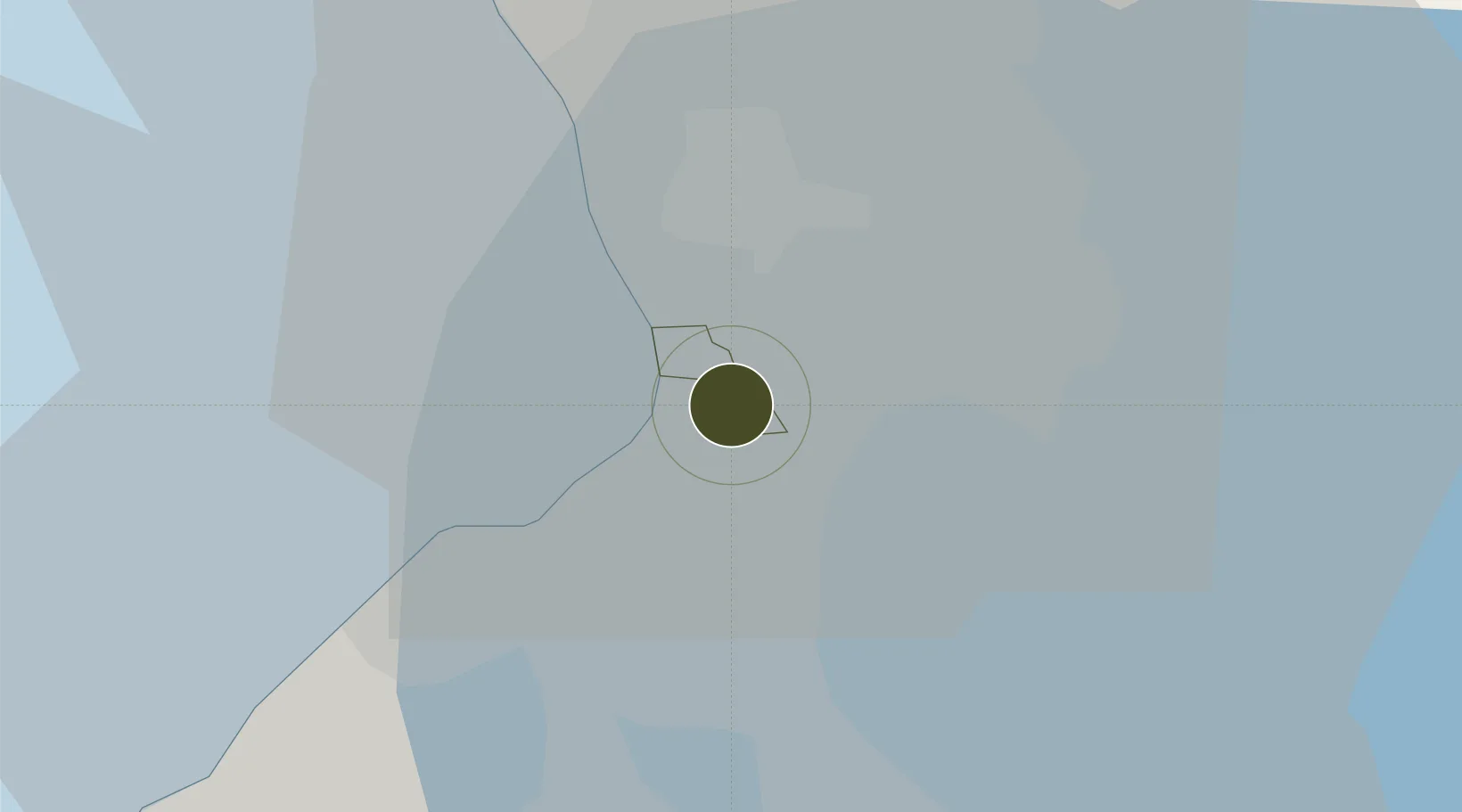
14.5198°, 121.0181°
25 ha
Zone area
9.0 km
Nearest port
1.3 km
Nearest airport

Gateway access

Nearest neighbours — logibook spatial index (haversine) over the source coordinates

Zone profile

Zone type
Specialized Zone
Open Zone Map
Specialization
Tourism
Open Zone Map
Region
Pasay
Open Zone Map
Status
Active
Open Zone Map
Management
Private
Open Zone Map
Operator
Megaworld Corporation
Open Zone Map
Legal framework
Special Economic Zone Act (Republic Act No. 7916) (as amended by Republic Act No. 8748)
Open Zone Map

Location

Location of ozm-3929
Natural Earth 10m (public domain) · Pasay · ozm-3929 · 14.52, 121.02GoogleOSMYandex

Nearby Logistics Neighbours

Ports
  1. 1Manila9 km
  2. 2Mariveles58 km
  3. 3Nasugbu65 km
  4. 4Batangas City86 km
  5. 5Subic Bay87 km
Nearest neighbours — logibook spatial index (haversine) over the source coordinates
Airports
  1. 1Ninoy Aquino International Airport1 km
  2. 2Danilo Atienza Air Base13 km
  3. 3Subic Bay International Airport / Naval Air Station Cubi Point86 km
  4. 4Clark International Airport / Clark Air Base89 km
  5. 5Lubang Airport123 km
Nearest neighbours — logibook spatial index (haversine) over the source coordinates
Cities
  1. 1Bangkal3 km
  2. 2Parañaque4 km
  3. 3Makati City4 km
  4. 4Philippines7 km
  5. 5Manila8 km
Nearest neighbours — logibook spatial index (haversine) over the source coordinates
Trade Zones
  1. 1MacroAsia (Cebu) Ecozone1 km
  2. 2ECOPRIME1 km
  3. 3NUVO District1 km
  4. 4DPC Place Building1 km
  5. 5MJ Corporate Plaza2 km
Nearest neighbours — logibook spatial index (haversine) over the source coordinates
DatabookThe Record of Consolidated Knowledge
Philippines beyond logistics?
Browse databook

All Sources

Trade ZonesOpen Zone Map
CC BY
Portsthe NGA World Port Index
Public domain (US gov)
AirportsOurAirports
Public domain
LocationsUN/LOCODE
UN/LOCODE — free
← Philippines trade zones