ECOzone · Philippines

Food Terminal Incorporated Special Economic Zone Active
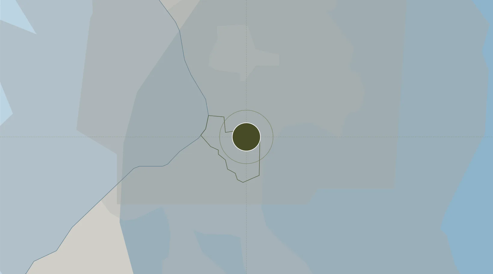
14.5036°, 121.0377°
24 ha
Zone area
11.7 km
Nearest port
2.0 km
Nearest airport

Gateway access

Nearest neighbours — logibook spatial index (haversine) over the source coordinates

Zone profile

Zone type
ECOzone
the World Bank SEZ database
Specialization
Agriculture
the World Bank SEZ database
Region
Paranaque
the World Bank SEZ database
Status
Active
the World Bank SEZ database
Established
1999
the World Bank SEZ database
Management
Private management
the World Bank SEZ database
Operator
Food Terminal Incorporated
the World Bank SEZ database
Regulatory authority
Philippines Economic Zone Authority
the World Bank SEZ database
Legal framework
Special Economic Zone Act
the World Bank SEZ database

Location

Location of PHL49
Natural Earth 10m (public domain) · Paranaque · PHL49 · 14.50, 121.04GoogleOSMYandex

Fiscal & incentives

Corporate tax
30%
the World Bank SEZ database
Tax relief
100% exempt
the World Bank SEZ database
Relief duration
4-8 years
the World Bank SEZ database
VAT
100% exempt from VAT on utility charges
the World Bank SEZ database
Import duty (inputs)
100% exempt
the World Bank SEZ database
Import duty (capex)
100% exempt
the World Bank SEZ database
Profit repatriation
No exemption
the World Bank SEZ database
Capital gains
No exemption
the World Bank SEZ database
Withholding tax
100% exempt from withholding tax
the World Bank SEZ database
Min. investment
None
the World Bank SEZ database
Min. export
70% for manufacturing and IT industries
the World Bank SEZ database
Employment incentive
No exemption
the World Bank SEZ database
Developer incentive
Yes
the World Bank SEZ database

Nearby Logistics Neighbours

Ports
  1. 1Manila12 km
  2. 2Mariveles60 km
  3. 3Nasugbu65 km
  4. 4Batangas City84 km
  5. 5Subic Bay89 km
Nearest neighbours — logibook spatial index (haversine) over the source coordinates
Airports
  1. 1Ninoy Aquino International Airport2 km
  2. 2Danilo Atienza Air Base14 km
  3. 3Subic Bay International Airport / Naval Air Station Cubi Point89 km
  4. 4Clark International Airport / Clark Air Base92 km
  5. 5Lubang Airport124 km
Nearest neighbours — logibook spatial index (haversine) over the source coordinates
Cities
  1. 1Bangkal5 km
  2. 2Parañaque6 km
  3. 3Makati City7 km
  4. 4Philippines10 km
  5. 5Manila11 km
Nearest neighbours — logibook spatial index (haversine) over the source coordinates
Trade Zones
  1. 1ARCA South 11 km
  2. 2TDG Innovation and Global Business Solutions Center1 km
  3. 3SM City Bicutan IT Park2 km
  4. 4MacroAsia (Cebu) Ecozone2 km
  5. 5P & S Ecozone3 km
Nearest neighbours — logibook spatial index (haversine) over the source coordinates
DatabookThe Record of Consolidated Knowledge
Philippines beyond logistics?
Browse databook

All Sources

Trade Zonesthe World Bank SEZ database
CC BY 4.0
Portsthe NGA World Port Index
Public domain (US gov)
AirportsOurAirports
Public domain
LocationsUN/LOCODE
UN/LOCODE — free
← Philippines trade zones