Diversified Zone · South Korea

Myeongji International City Active
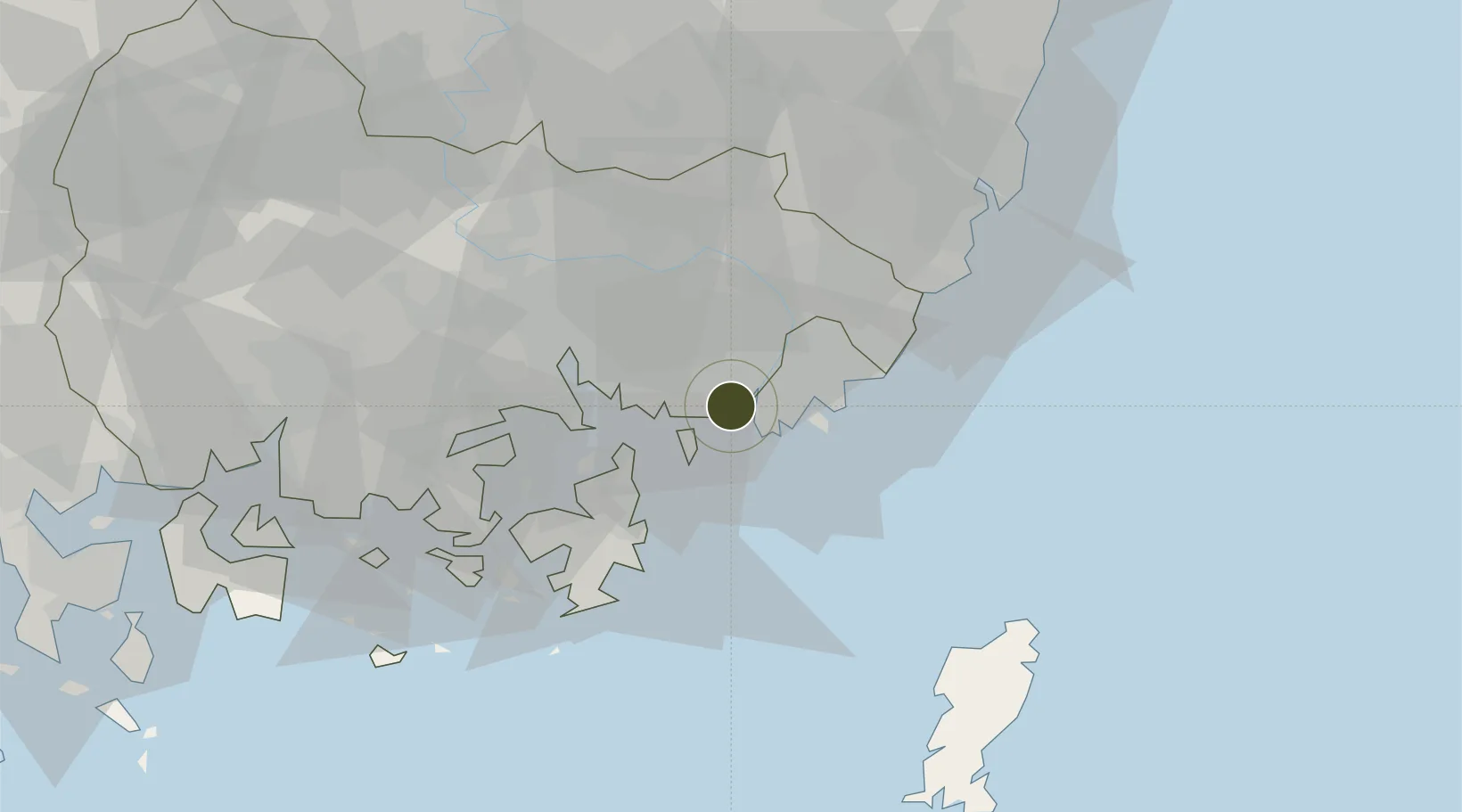
35.1027°, 128.9067°
447 ha
Zone area
11.5 km
Nearest port
9.0 km
Nearest airport

Gateway access

Nearest neighbours — logibook spatial index (haversine) over the source coordinates

Zone profile

Zone type
Diversified Zone
Open Zone Map
Region
South Gyeongsang
Open Zone Map
Status
Active
Open Zone Map
Management
Public
Open Zone Map
Operator
Busan-Jinhae Free Economic Zone Authority
Open Zone Map
Legal framework
Special Act On Designation And Management Of Free Economic Zones Expand Act No. 15309, Dec. 26, 2017, Foreign Investment Promotion Act: Expand Act No. 16131, Dec. 31, 2018.
Open Zone Map

Location

Location of ozm-4230
Natural Earth 10m (public domain) · South Gyeongsang · ozm-4230 · 35.10, 128.91GoogleOSMYandex

Nearby Logistics Neighbours

Ports
  1. 1Busan12 km
  2. 2Chinae24 km
  3. 3Masan32 km
  4. 4Ulsan59 km
  5. 5Izuhara107 km
Nearest neighbours — logibook spatial index (haversine) over the source coordinates
Airports
  1. 1Gimhae International Airport9 km
  2. 2Ulsan Airport68 km
  3. 3Sacheon Airport / Sacheon Air Base76 km
  4. 4Daegu International Airport91 km
  5. 5Tsushima Airport99 km
Nearest neighbours — logibook spatial index (haversine) over the source coordinates
Cities
  1. 1Busan5 km
  2. 2Changwon7 km
  3. 3Busan New Port9 km
  4. 4Gamcheon/Busan9 km
  5. 5Busanjin-Gu14 km
Nearest neighbours — logibook spatial index (haversine) over the source coordinates
DatabookThe Record of Consolidated Knowledge
South Korea beyond logistics?
Browse databook

All Sources

Trade ZonesOpen Zone Map
CC BY
Portsthe NGA World Port Index
Public domain (US gov)
AirportsOurAirports
Public domain
LocationsUN/LOCODE
UN/LOCODE — free
← South Korea trade zones