Small airport · China

Alxa Right Banner Badanjilin AirportRHT
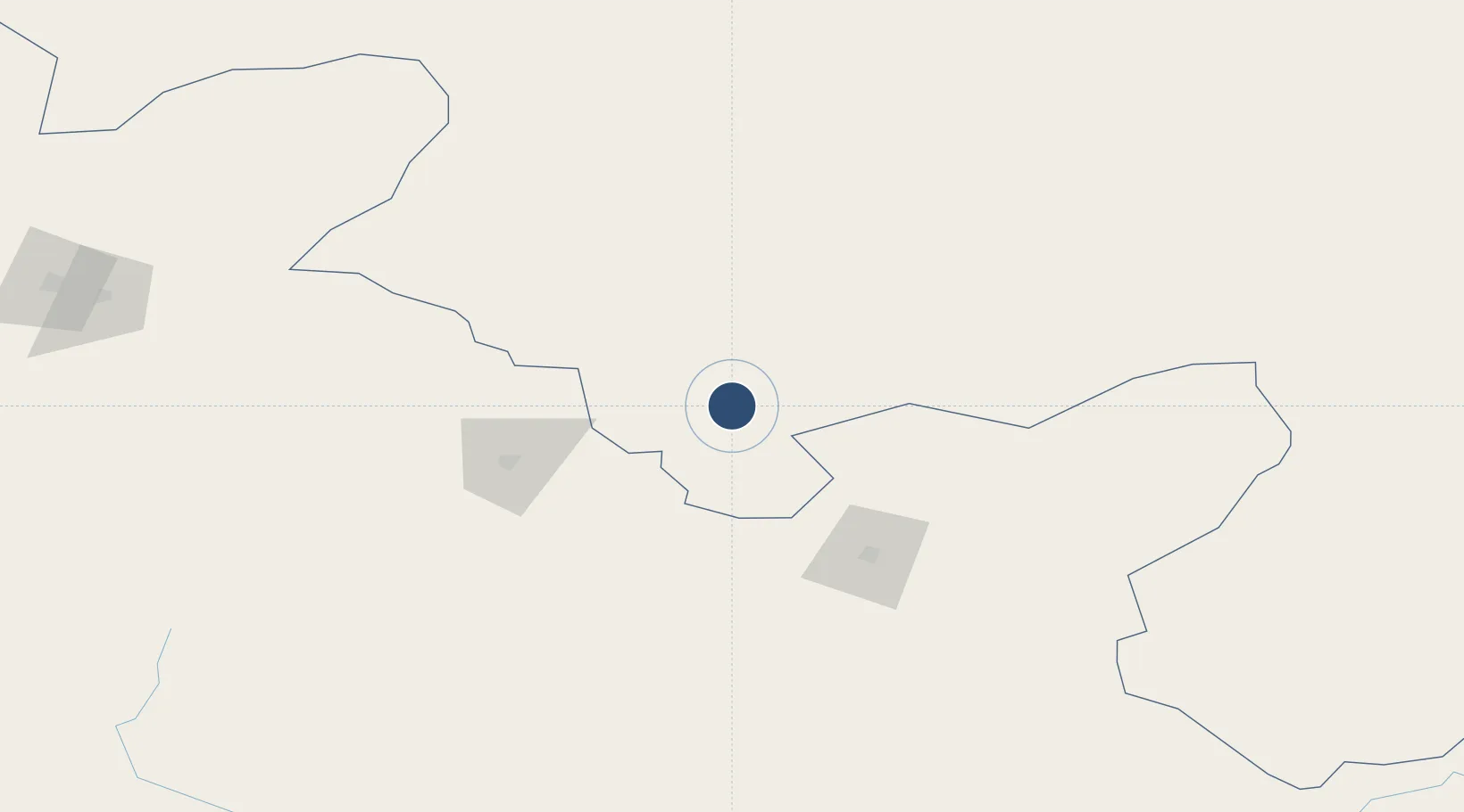
39.2250°, 101.5460°
7,874 ft
Longest runway
1
Runways
4,659 ft
Elevation

Runway & Layout

Alxa Right Banner Badanjilin Airport runway & taxiway layout
Runway & taxiway layout — OpenStreetMap (ODbL) / OurAirports

Runways · 1

RunwayDimensions SurfaceTrue headingLit
13/31 7,874 × —ft
OurAirports

Airport Specifications

IATA code
RHT
OurAirports
ICAO code
ZBAR
OurAirports
Airport class
Small airport
OurAirports
Scheduled service
Yes
OurAirports
Served city
Badanjilin
OurAirports

Location

Location of RHT
Natural Earth 10m (public domain) · Inner Mongol · RHT · 39.23, 101.55GoogleOSMYandex

Nearby Logistics Neighbours

Airports
  1. 1Zhangye Ganzhou Airport89 km
  2. 2Jinchang Jinchuan Airport103 km
  3. 3Haibei Qilian Airport156 km
  4. 4Wuwei Air Base164 km
  5. 5Dingxin-Shuangchengzi Air Base199 km
Nearest neighbours — logibook spatial index (haversine) over the source coordinates
Cities
  1. 1Qiaotou255 km
  2. 2Jiuquan266 km
  3. 3Bayin378 km
  4. 4Gaolan386 km
  5. 5Lanzhou406 km
Nearest neighbours — logibook spatial index (haversine) over the source coordinates
Ports
  1. 1Tianjin Xin Gang1404 km
  2. 2Hankow1505 km
  3. 3Chittagong2094 km
  4. 4Guangzhou2104 km
  5. 5Huangpu2116 km
Nearest neighbours — logibook spatial index (haversine) over the source coordinates
Trade Zones
  1. 1Shandan Chengbei Industrial Park61 km
  2. 2Yongchang Industrial Park106 km
  3. 3Linze Industrial Park117 km
  4. 4Wuwei Gulang Industrial Concentration Zone179 km
  5. 5Wuwei Industrial Park179 km
Nearest neighbours — logibook spatial index (haversine) over the source coordinates
DatabookThe Record of Consolidated Knowledge
China beyond logistics?
Browse databook

All Sources

AirportsOurAirports
Public domain
Portsthe NGA World Port Index
Public domain (US gov)
LocationsUN/LOCODE
UN/LOCODE — free
Trade Zonesthe World Bank SEZ database
CC BY 4.0
Trade ZonesOpen Zone Map
CC BY
InfrastructureOpenStreetMap
ODbL 1.0
← China airports