Medium airport · China

Zhangye Ganzhou AirportZLZY
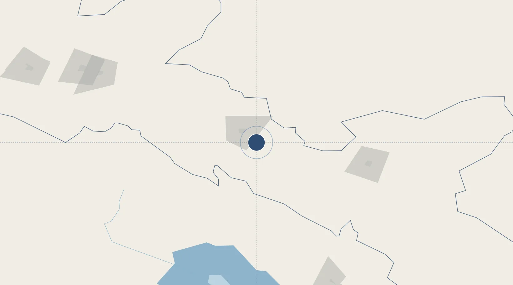
38.8019°, 100.6750°
9,843 ft
Longest runway
1
Runways
5,280 ft
Elevation

Runway & Layout

Zhangye Ganzhou Airport runway & taxiway layout
Runway & taxiway layout — OpenStreetMap (ODbL) / OurAirports

Runways · 1

RunwayDimensions SurfaceTrue headingLit
11/29 9,843 × —ft
OurAirports

Airport Specifications

IATA code
YZY
OurAirports
ICAO code
ZLZY
OurAirports
Airport class
Medium airport
OurAirports
Scheduled service
Yes
OurAirports
Served city
Zhangye (Ganzhou)
OurAirports

Location

Location of ZLZY
Natural Earth 10m (public domain) · Gansu · ZLZY · 38.80, 100.68GoogleOSMYandex

Nearby Logistics Neighbours

Airports
  1. 1Haibei Qilian Airport88 km
  2. 2Alxa Right Banner Badanjilin Airport89 km
  3. 3Jinchang Jinchuan Airport148 km
  4. 4Qingshui Air Base176 km
  5. 5Wuwei Air Base188 km
Nearest neighbours — logibook spatial index (haversine) over the source coordinates
Cities
  1. 1Jiuquan213 km
  2. 2Qiaotou226 km
  3. 3Gaolan399 km
  4. 4Bayin399 km
  5. 5Lanzhou414 km
Nearest neighbours — logibook spatial index (haversine) over the source coordinates
Ports
  1. 1Tianjin Xin Gang1483 km
  2. 2Hankow1541 km
  3. 3Chittagong2017 km
  4. 4Mongla2099 km
  5. 5Guangzhou2111 km
Nearest neighbours — logibook spatial index (haversine) over the source coordinates
Trade Zones
  1. 1Shandan Chengbei Industrial Park38 km
  2. 2Linze Industrial Park56 km
  3. 3Yongchang Industrial Park133 km
  4. 4Hot Water Coal Industry Park135 km
  5. 5Haibei Prefecture Biological Park177 km
Nearest neighbours — logibook spatial index (haversine) over the source coordinates
DatabookThe Record of Consolidated Knowledge
China beyond logistics?
Browse databook

All Sources

AirportsOurAirports
Public domain
Portsthe NGA World Port Index
Public domain (US gov)
LocationsUN/LOCODE
UN/LOCODE — free
Trade Zonesthe World Bank SEZ database
CC BY 4.0
Trade ZonesOpen Zone Map
CC BY
InfrastructureOpenStreetMap
ODbL 1.0
← China airports