Export Processing Zone · China

Wuwei Gulang Industrial Concentration Zone Active
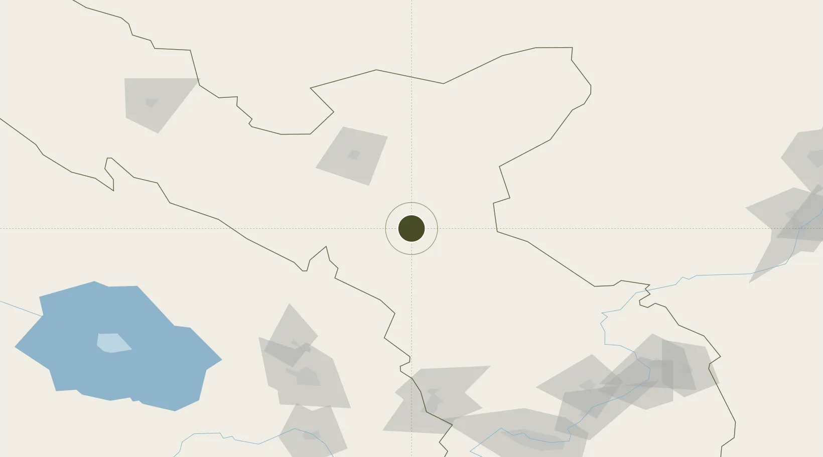
37.8866°, 102.6925°
100 ha
Zone area
1,322.8 km
Nearest port
15.8 km
Nearest airport

Gateway access

Nearest neighbours — logibook spatial index (haversine) over the source coordinates

Zone profile

Zone type
Export Processing Zone
Open Zone Map
Region
Gansu
Open Zone Map
Status
Active
Open Zone Map
Management
Public
Open Zone Map
Operator
Working Committee of Wuwei Gulang Industrial Concentration Zone
Open Zone Map
Legal framework
Overall Development Plan of Wuwei Development Zone (Industrial Concentration Zone) (2015-2030)
Open Zone Map

Location

Location of ozm-1037
Natural Earth 10m (public domain) · Gansu · ozm-1037 · 37.89, 102.69GoogleOSMYandex

Nearby Logistics Neighbours

Ports
  1. 1Tianjin Xin Gang1323 km
  2. 2Hankow1338 km
  3. 3Guangzhou1925 km
  4. 4Huangpu1937 km
  5. 5Huangpuxingang1945 km
Nearest neighbours — logibook spatial index (haversine) over the source coordinates
Airports
  1. 1Wuwei Air Base16 km
  2. 2Jinchang Jinchuan Airport79 km
  3. 3Xining Caojiabao International Airport162 km
  4. 4Lanzhou Zhongchuan International Airport173 km
  5. 5Alxa Right Banner Badanjilin Airport179 km
Nearest neighbours — logibook spatial index (haversine) over the source coordinates
Cities
  1. 1Qiaotou138 km
  2. 2Bayin200 km
  3. 3Gaolan206 km
  4. 4Lanzhou227 km
  5. 5Dingxi310 km
Nearest neighbours — logibook spatial index (haversine) over the source coordinates
DatabookThe Record of Consolidated Knowledge
China beyond logistics?
Browse databook

All Sources

Trade ZonesOpen Zone Map
CC BY
Portsthe NGA World Port Index
Public domain (US gov)
AirportsOurAirports
Public domain
LocationsUN/LOCODE
UN/LOCODE — free
← China trade zones