Small airport · China

Haibei Qilian AirportZLHB
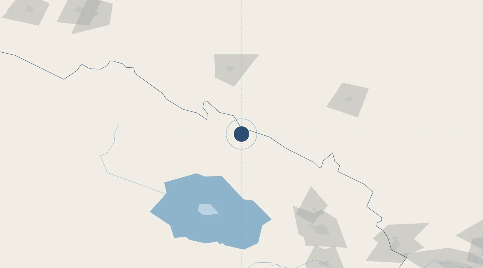
38.0081°, 100.6451°
11,155 ft
Longest runway
1
Runways
10,377 ft
Elevation

Runway & Layout

Haibei Qilian Airport runway & taxiway layout
Runway & taxiway layout — OpenStreetMap (ODbL) / OurAirports

Runways · 1

RunwayDimensions SurfaceTrue headingLit
10/28 11,155 × —ft
OurAirports

Airport Specifications

IATA code
HBQ
OurAirports
ICAO code
ZLHB
OurAirports
Airport class
Small airport
OurAirports
Scheduled service
Yes
OurAirports
Served city
Haibei (Qilian)
OurAirports

Location

Location of ZLHB
Natural Earth 10m (public domain) · Qinghai · ZLHB · 38.01, 100.65GoogleOSMYandex

Nearby Logistics Neighbours

Airports
  1. 1Zhangye Ganzhou Airport88 km
  2. 2Alxa Right Banner Badanjilin Airport156 km
  3. 3Jinchang Jinchuan Airport160 km
  4. 4Wuwei Air Base168 km
  5. 5Gonghe Air Base186 km
Nearest neighbours — logibook spatial index (haversine) over the source coordinates
Cities
  1. 1Qiaotou152 km
  2. 2Jiuquan266 km
  3. 3Gaolan347 km
  4. 4Bayin354 km
  5. 5Lanzhou357 km
Nearest neighbours — logibook spatial index (haversine) over the source coordinates
Ports
  1. 1Tianjin Xin Gang1498 km
  2. 2Hankow1498 km
  3. 3Chittagong1938 km
  4. 4Mongla2024 km
  5. 5Guangzhou2044 km
Nearest neighbours — logibook spatial index (haversine) over the source coordinates
Trade Zones
  1. 1Hot Water Coal Industry Park49 km
  2. 2Shandan Chengbei Industrial Park97 km
  3. 3Haibei Prefecture Biological Park107 km
  4. 4Linze Industrial Park132 km
  5. 5Yongchang Industrial Park134 km
Nearest neighbours — logibook spatial index (haversine) over the source coordinates
DatabookThe Record of Consolidated Knowledge
China beyond logistics?
Browse databook

All Sources

AirportsOurAirports
Public domain
Portsthe NGA World Port Index
Public domain (US gov)
LocationsUN/LOCODE
UN/LOCODE — free
Trade Zonesthe World Bank SEZ database
CC BY 4.0
Trade ZonesOpen Zone Map
CC BY
InfrastructureOpenStreetMap
ODbL 1.0
← China airports