Runway & Layout

Airport Specifications
Airport class
Medium airport
Scheduled service
No
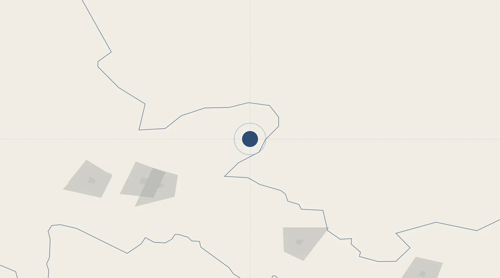
Served city
Jiuquan (Jinta)
Location
Nearby Logistics Neighbours
Airports
- 1Qingshui Air Base122 km
- 2Jiayuguan International Airport137 km
- 3Zhangye Ganzhou Airport193 km
- 4Alxa Right Banner Badanjilin Airport199 km
- 5Haibei Qilian Airport276 km
Ports
- 1Tianjin Xin Gang1550 km
- 2Hankow1703 km
- 3Chittagong2146 km
- 4Mongla2212 km
- 5Calcutta2258 km
Trade Zones
DatabookThe Record of Consolidated Knowledge
China beyond logistics?