Transport Functions
Rail
Road
Hub Profile
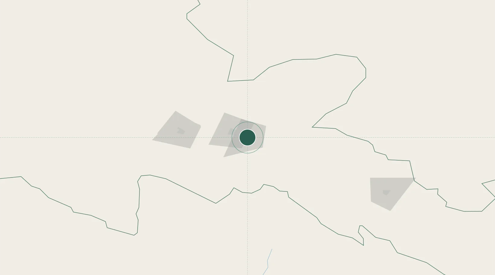
Place type
Provincial seat
Region
Gansu
Population
428,346
Time zone
Asia/Shanghai
Elevation
1,464 m
Location
Nearby Logistics Neighbours
Ports
- 1Tianjin Xin Gang1660 km
- 2Hankow1753 km
- 3Chittagong2038 km
- 4Mongla2097 km
- 5Calcutta2139 km
Airports
- 1Jiayuguan International Airport21 km
- 2Qingshui Air Base37 km
- 3Dingxin-Shuangchengzi Air Base131 km
- 4Zhangye Ganzhou Airport213 km
- 5Haibei Qilian Airport266 km
Trade Zones
DatabookThe Record of Consolidated Knowledge
China beyond logistics?