Diversified Zone · China

Yongchang Industrial Park Active
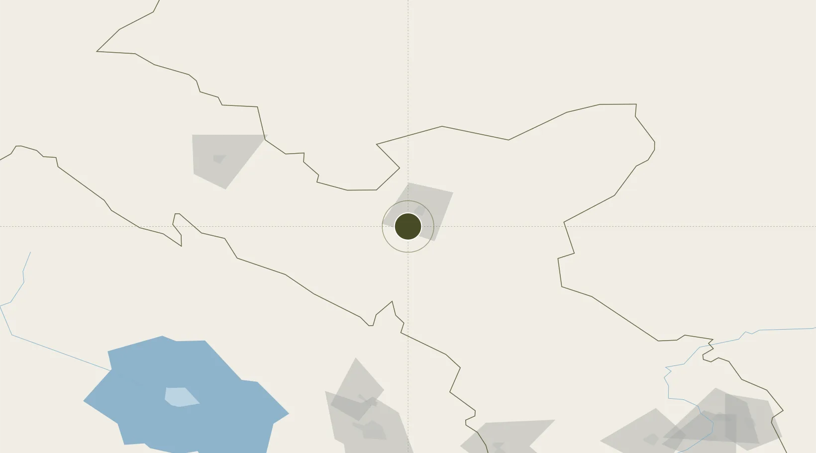
38.3768°, 102.1023°
478 ha
Zone area
1,365.6 km
Nearest port
28.2 km
Nearest airport

Gateway access

Nearest neighbours — logibook spatial index (haversine) over the source coordinates

Zone profile

Zone type
Diversified Zone
Open Zone Map
Region
Gansu
Open Zone Map
Status
Active
Open Zone Map
Management
Public
Open Zone Map
Operator
Management Committee of Yongchang Industrial Park
Open Zone Map
Legal framework
It was founded in June 1992
Open Zone Map

Location

Location of ozm-534
Natural Earth 10m (public domain) · Gansu · ozm-534 · 38.38, 102.10GoogleOSMYandex

Nearby Logistics Neighbours

Ports
  1. 1Tianjin Xin Gang1366 km
  2. 2Hankow1411 km
  3. 3Tangshan (Jingtang)1467 km
  4. 4Qinhuangdao1518 km
  5. 5Lanshan1579 km
Nearest neighbours — logibook spatial index (haversine) over the source coordinates
Airports
  1. 1Jinchang Jinchuan Airport28 km
  2. 2Wuwei Air Base59 km
  3. 3Alxa Right Banner Badanjilin Airport106 km
  4. 4Zhangye Ganzhou Airport133 km
  5. 5Haibei Qilian Airport134 km
Nearest neighbours — logibook spatial index (haversine) over the source coordinates
Cities
  1. 1Qiaotou164 km
  2. 2Bayin275 km
  3. 3Gaolan281 km
  4. 4Lanzhou300 km
  5. 5Jiuquan344 km
Nearest neighbours — logibook spatial index (haversine) over the source coordinates
DatabookThe Record of Consolidated Knowledge
China beyond logistics?
Browse databook

All Sources

Trade ZonesOpen Zone Map
CC BY
Portsthe NGA World Port Index
Public domain (US gov)
AirportsOurAirports
Public domain
LocationsUN/LOCODE
UN/LOCODE — free
← China trade zones