Free Trade Zone · China

Shandan Chengbei Industrial Park Active
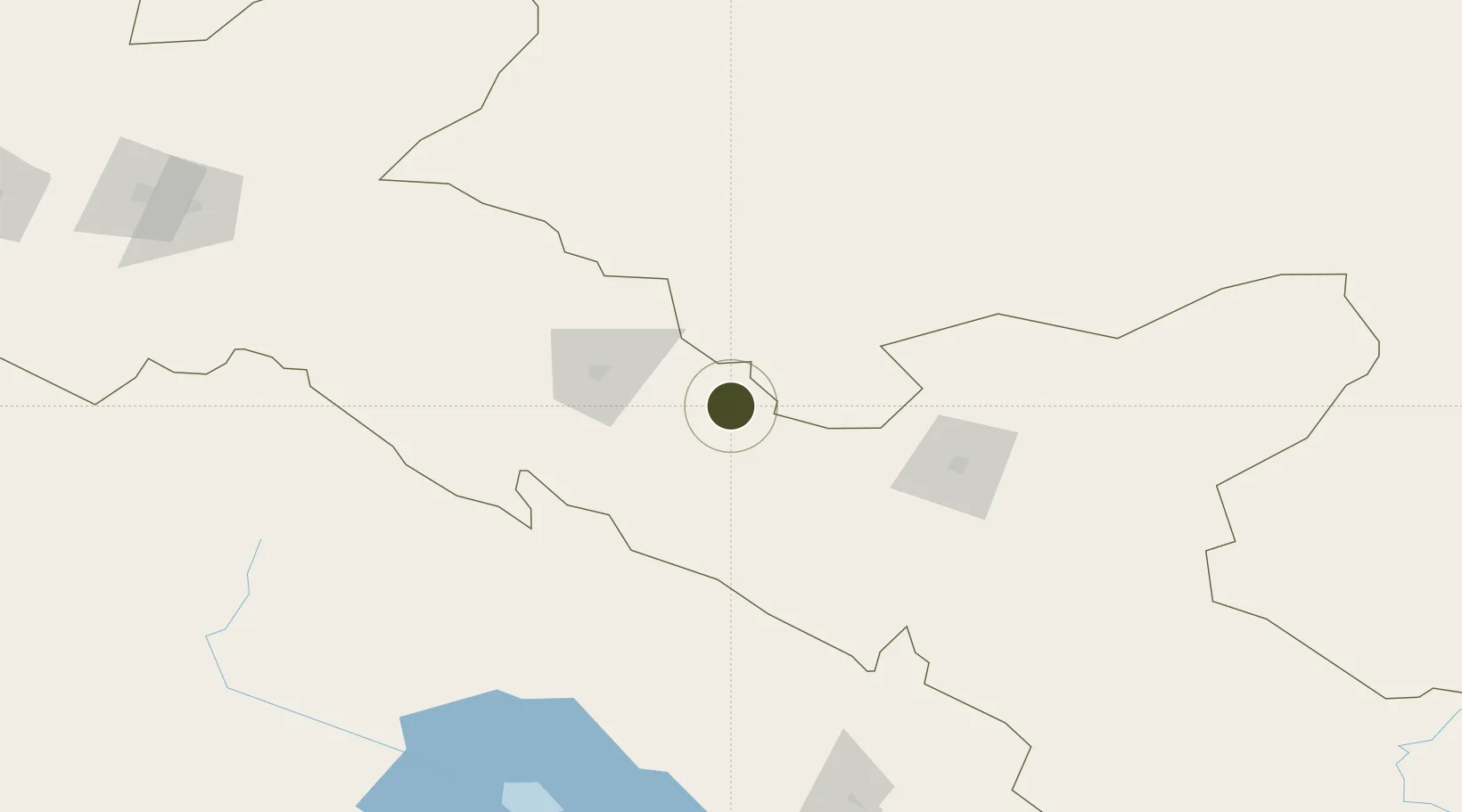
38.7954°, 101.1138°
207 ha
Zone area
1,445.3 km
Nearest port
38.0 km
Nearest airport

Gateway access

Nearest neighbours — logibook spatial index (haversine) over the source coordinates

Zone profile

Zone type
Free Trade Zone
Open Zone Map
Region
Gansu
Open Zone Map
Status
Active
Open Zone Map
Management
Public
Open Zone Map
Operator
Shandan Chengbei Industrial Park Management Committee
Open Zone Map
Legal framework
Unavailable
Open Zone Map

Location

Location of ozm-1498
Natural Earth 10m (public domain) · Gansu · ozm-1498 · 38.80, 101.11GoogleOSMYandex

Nearby Logistics Neighbours

Ports
  1. 1Tianjin Xin Gang1445 km
  2. 2Hankow1509 km
  3. 3Chittagong2034 km
  4. 4Guangzhou2087 km
  5. 5Huangpu2100 km
Nearest neighbours — logibook spatial index (haversine) over the source coordinates
Airports
  1. 1Zhangye Ganzhou Airport38 km
  2. 2Alxa Right Banner Badanjilin Airport61 km
  3. 3Haibei Qilian Airport97 km
  4. 4Jinchang Jinchuan Airport111 km
  5. 5Wuwei Air Base155 km
Nearest neighbours — logibook spatial index (haversine) over the source coordinates
Cities
  1. 1Qiaotou213 km
  2. 2Jiuquan247 km
  3. 3Bayin369 km
  4. 4Gaolan371 km
  5. 5Lanzhou388 km
Nearest neighbours — logibook spatial index (haversine) over the source coordinates
Trade Zones
  1. 1Linze Industrial Park88 km
  2. 2Yongchang Industrial Park98 km
  3. 3Hot Water Coal Industry Park145 km
  4. 4Haibei Prefecture Biological Park163 km
  5. 5Wuwei Gulang Industrial Concentration Zone171 km
Nearest neighbours — logibook spatial index (haversine) over the source coordinates
DatabookThe Record of Consolidated Knowledge
China beyond logistics?
Browse databook

All Sources

Trade ZonesOpen Zone Map
CC BY
Portsthe NGA World Port Index
Public domain (US gov)
AirportsOurAirports
Public domain
LocationsUN/LOCODE
UN/LOCODE — free
← China trade zones