Seaplane base · United States
Lake Brooks Seaplane Base5Z9
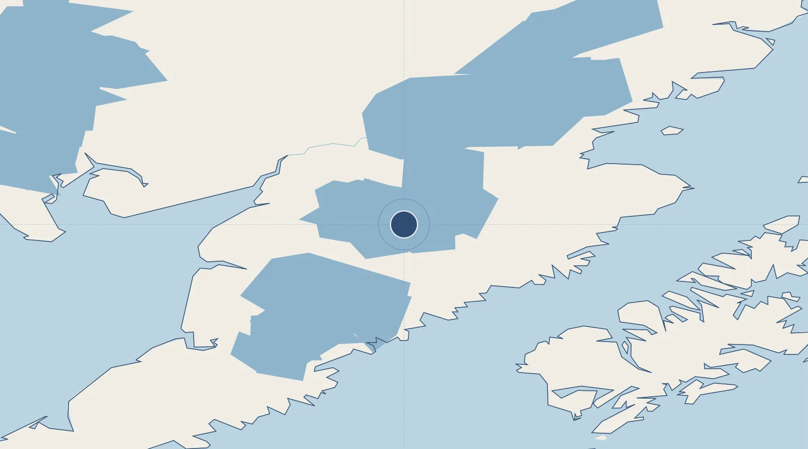
58.5548°, -155.7770°
5,000 ft
Longest runway
1
Runways
36 ft
Elevation
Runway & Layout
Runways · 1
| Runway | Dimensions | Surface | True heading | Lit |
|---|---|---|---|---|
| ALL/WAY | 5,000 × 4000ft | WATER-E | — | — |
Airport Specifications
IATA code
BKF
ICAO code
5Z9
Airport class
Seaplane base
Scheduled service
Yes
Runway surface
WATER-E
Served city
Katmai National Park
Location
Nearby Logistics Neighbours
Airports
- 1King Salmon Airport53 km
- 2South Naknek Number 2 Airport73 km
- 3Igiugig Airport86 km
- 4Egegik Airport102 km
- 5Kokhanok Airport113 km
Cities
- 1Afognak187 km
- 2Kaguyak222 km
- 3Jakolof Bay263 km
- 4Susitna442 km
- 5Anchorage443 km
Trade Zones
- 1FTZ No. 232 Kodiak173 km
- 2FTZ No. 160 Anchorage444 km
- 3FTZ No. 108 Valdez598 km
- 4FTZ No. 195 Fairbanks817 km
- 5PrInce George Logistics Park2082 km
DatabookThe Record of Consolidated Knowledge
United States beyond logistics?