Medium airport · Pakistan

Shaikh Zaid AirportOPRK
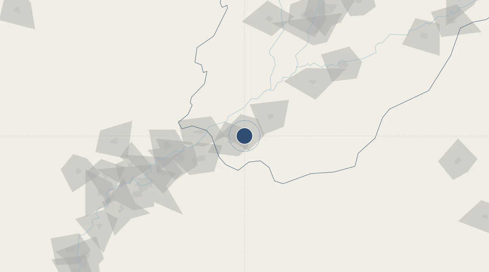
28.3839°, 70.2796°
9,842 ft
Longest runway
1
Runways
271 ft
Elevation

Runway & Layout

Shaikh Zaid Airport runway & taxiway layout
Runway & taxiway layout — OpenStreetMap (ODbL) / OurAirports

Radio Frequencies

TWR
122.2 MHz
RAHIM YAR KHAN TWR
GND
121.8 MHz
RAHIM YAR KHAN GND
OurAirports

Navaids

RK VOR-DME Rahim Yar Khan 113.70 MHz
RK NDB Rahim Yar Khan 290 kHz
OurAirports

Runways · 1

RunwayDimensions SurfaceTrue headingLit
01/19 9,842 × 148ft Asphalt 015°
OurAirports

Airport Specifications

IATA code
RYK
OurAirports
ICAO code
OPRK
OurAirports
Airport class
Medium airport
OurAirports
Scheduled service
Yes
OurAirports
Runway surface
Asphalt
OurAirports
Served city
Rahim Yar Khan
OurAirports

Location

Location of OPRK
Natural Earth 10m (public domain) · Punjab · OPRK · 28.38, 70.28GoogleOSMYandex

Nearby Logistics Neighbours

Airports
  1. 1Sui Airport112 km
  2. 2Begum Nusrat Bhutto International Airport Sukkur164 km
  3. 3Jaisalmer Airport176 km
  4. 4Bahawalpur Airport176 km
  5. 5Dera Ghazi Khan Airport177 km
Nearest neighbours — logibook spatial index (haversine) over the source coordinates
Cities
  1. 1Hasilpur201 km
  2. 2Multan227 km
  3. 3Khokhropar299 km
  4. 4Bikaner299 km
  5. 5Jodhpur359 km
Nearest neighbours — logibook spatial index (haversine) over the source coordinates
Ports
  1. 1Muhamamad Bin Qasim497 km
  2. 2Karachi517 km
  3. 3Kandla595 km
  4. 4Navlakhi604 km
  5. 5Mandvi624 km
Nearest neighbours — logibook spatial index (haversine) over the source coordinates
Trade Zones
  1. 1Rahim Yar Khan Industrial Estate9 km
  2. 2Khairpur Special Economic Zone186 km
  3. 3Vehari Industrial Estate272 km
  4. 4Naushehro Feroze Industrial Park273 km
  5. 5Bostan Special Economic Zone Balochistan391 km
Nearest neighbours — logibook spatial index (haversine) over the source coordinates
DatabookThe Record of Consolidated Knowledge
Pakistan beyond logistics?
Browse databook

All Sources

AirportsOurAirports
Public domain
Portsthe NGA World Port Index
Public domain (US gov)
LocationsUN/LOCODE
UN/LOCODE — free
Trade Zonesthe World Bank SEZ database
CC BY 4.0
Trade ZonesOpen Zone Map
CC BY
InfrastructureOpenStreetMap
ODbL 1.0
← Pakistan airports