Large airport · Pakistan

Multan International AirportOPMT
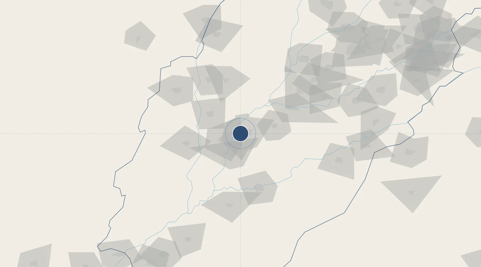
30.2032°, 71.4191°
12,353 ft
Longest runway
1
Runways
403 ft
Elevation

Runway & Layout

Multan International Airport runway & taxiway layout
Runway & taxiway layout — OpenStreetMap (ODbL) / OurAirports

Radio Frequencies

TWR
119.1 MHz
GND
121.8 MHz
TWR
APP
119.1 MHz
TWR
OurAirports

Navaids

MT VOR Multan 116.70 MHz
MT NDB Multan 387 kHz
OurAirports

Runways · 1

RunwayDimensions SurfaceTrue headingLit
18/36 12,353 × 148ft Asphalt 183°
OurAirports

Airport Specifications

IATA code
MUX
OurAirports
ICAO code
OPMT
OurAirports
Airport class
Large airport
OurAirports
Scheduled service
Yes
OurAirports
Runway surface
Asphalt
OurAirports
Served city
Multan
OurAirports

Location

Location of OPMT
Natural Earth 10m (public domain) · Punjab · OPMT · 30.20, 71.42GoogleOSMYandex

Nearby Logistics Neighbours

Airports
  1. 1Dera Ghazi Khan Airport94 km
  2. 2Bahawalpur Airport99 km
  3. 3Rafiqui Air Base103 km
  4. 4Dera Ismael Khan Airport [IN-ACTIVE]196 km
  5. 5Faisalabad International Airport198 km
Nearest neighbours — logibook spatial index (haversine) over the source coordinates
Cities
  1. 1Multan8 km
  2. 2Hasilpur55 km
  3. 3Faisalabad218 km
  4. 4Sargodha267 km
  5. 5Bikaner304 km
Nearest neighbours — logibook spatial index (haversine) over the source coordinates
Ports
  1. 1Muhamamad Bin Qasim726 km
  2. 2Karachi745 km
  3. 3Kandla806 km
  4. 4Navlakhi812 km
  5. 5Mandvi845 km
Nearest neighbours — logibook spatial index (haversine) over the source coordinates
Trade Zones
  1. 1Vehari Industrial Estate85 km
  2. 2Value Addition City229 km
  3. 3M-3 Industrial City231 km
  4. 4Rahim Yar Khan Industrial Estate236 km
  5. 5Allama Iqbal Industrial City Special Economic Zone238 km
Nearest neighbours — logibook spatial index (haversine) over the source coordinates
DatabookThe Record of Consolidated Knowledge
Pakistan beyond logistics?
Browse databook

All Sources

AirportsOurAirports
Public domain
Portsthe NGA World Port Index
Public domain (US gov)
LocationsUN/LOCODE
UN/LOCODE — free
Trade Zonesthe World Bank SEZ database
CC BY 4.0
Trade ZonesOpen Zone Map
CC BY
InfrastructureOpenStreetMap
ODbL 1.0
← Pakistan airports