Medium airport · Pakistan
Dera Ismael Khan Airport [IN-ACTIVE]OPDI
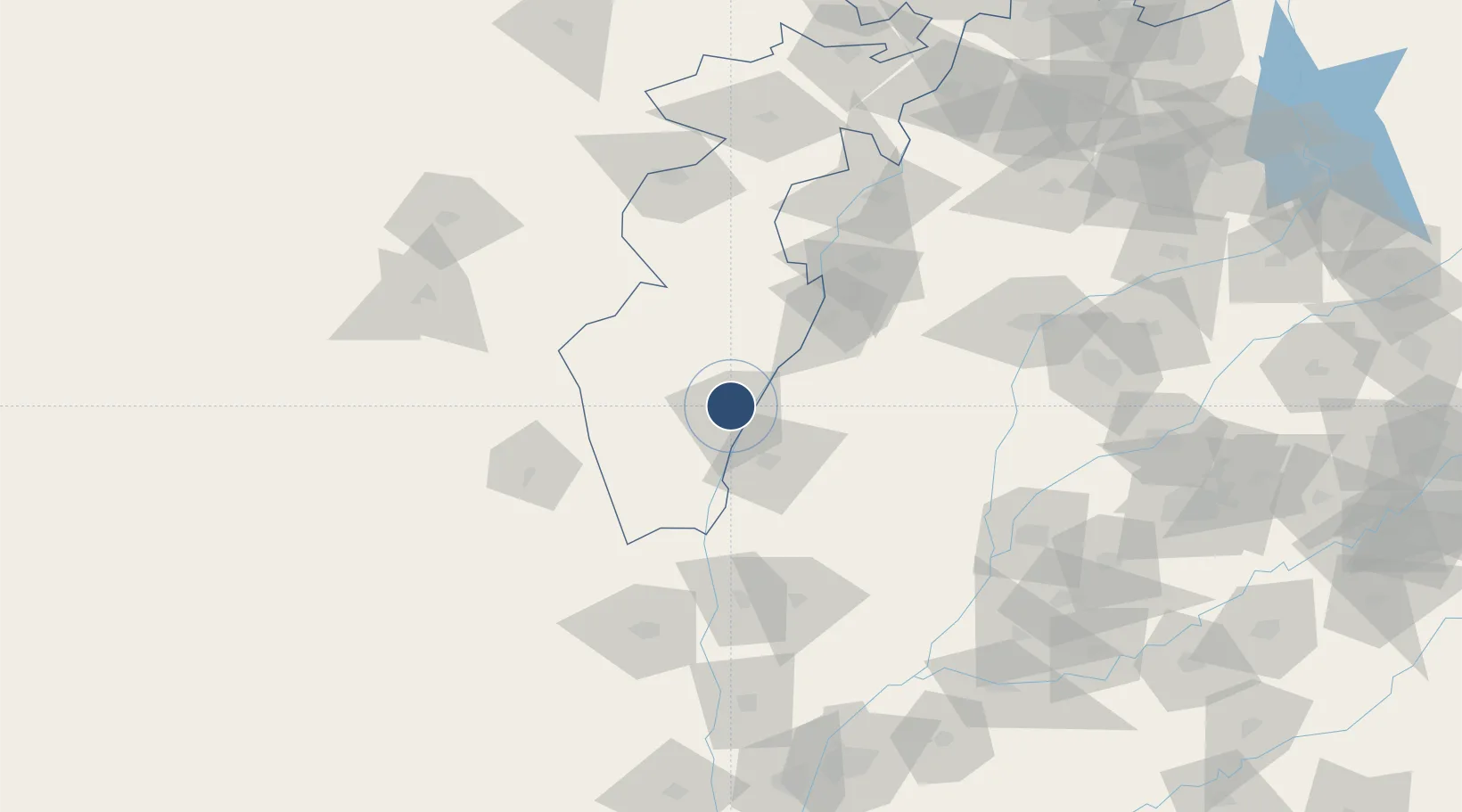
31.9094°, 70.8966°
5,000 ft
Longest runway
1
Runways
594 ft
Elevation
Runway & Layout
![Dera Ismael Khan Airport [IN-ACTIVE] runway & taxiway layout](/airport-layouts/OPDI.svg)
Radio Frequencies
TWR
122.8 MHz
GND
121.8 MHz
Navaids
DI VOR D I Khan 113.10 MHz
DI NDB D I Khan 286 kHz
Runways · 1
| Runway | Dimensions | Surface | True heading | Lit |
|---|---|---|---|---|
| 12/30 | 5,000 × 75ft | Asphalt | 119° | — |
Airport Specifications
IATA code
DSK
ICAO code
OPDI
Airport class
Medium airport
Scheduled service
No
Runway surface
Asphalt
Served city
Dera Ismael Khan
Location
Nearby Logistics Neighbours
Airports
- 1Mianwali Air Base97 km
- 2Zhob Airport149 km
- 3Mushaf Air Base168 km
- 4Salerno South Airport181 km
- 5Rafiqui Air Base184 km
Cities
- 1Sargodha197 km
- 2Sharona203 km
- 3Multan204 km
- 4Faisalabad217 km
- 5Hasilpur250 km
Ports
- 1Muhamamad Bin Qasim867 km
- 2Karachi880 km
- 3Kandla989 km
- 4Navlakhi997 km
- 5Mandvi1021 km
Trade Zones
- 1Bhalwal Industiral Estate194 km
- 2M-3 Industrial City219 km
- 3Allama Iqbal Industrial City Special Economic Zone220 km
- 4Value Addition City229 km
- 5Vehari Industrial Estate242 km
DatabookThe Record of Consolidated Knowledge
Pakistan beyond logistics?