Transport Functions
Multimodal
Hub Profile
Place type
Populated place
Region
Rajasthan
Population
644,406
Time zone
Asia/Kolkata
Elevation
229 m
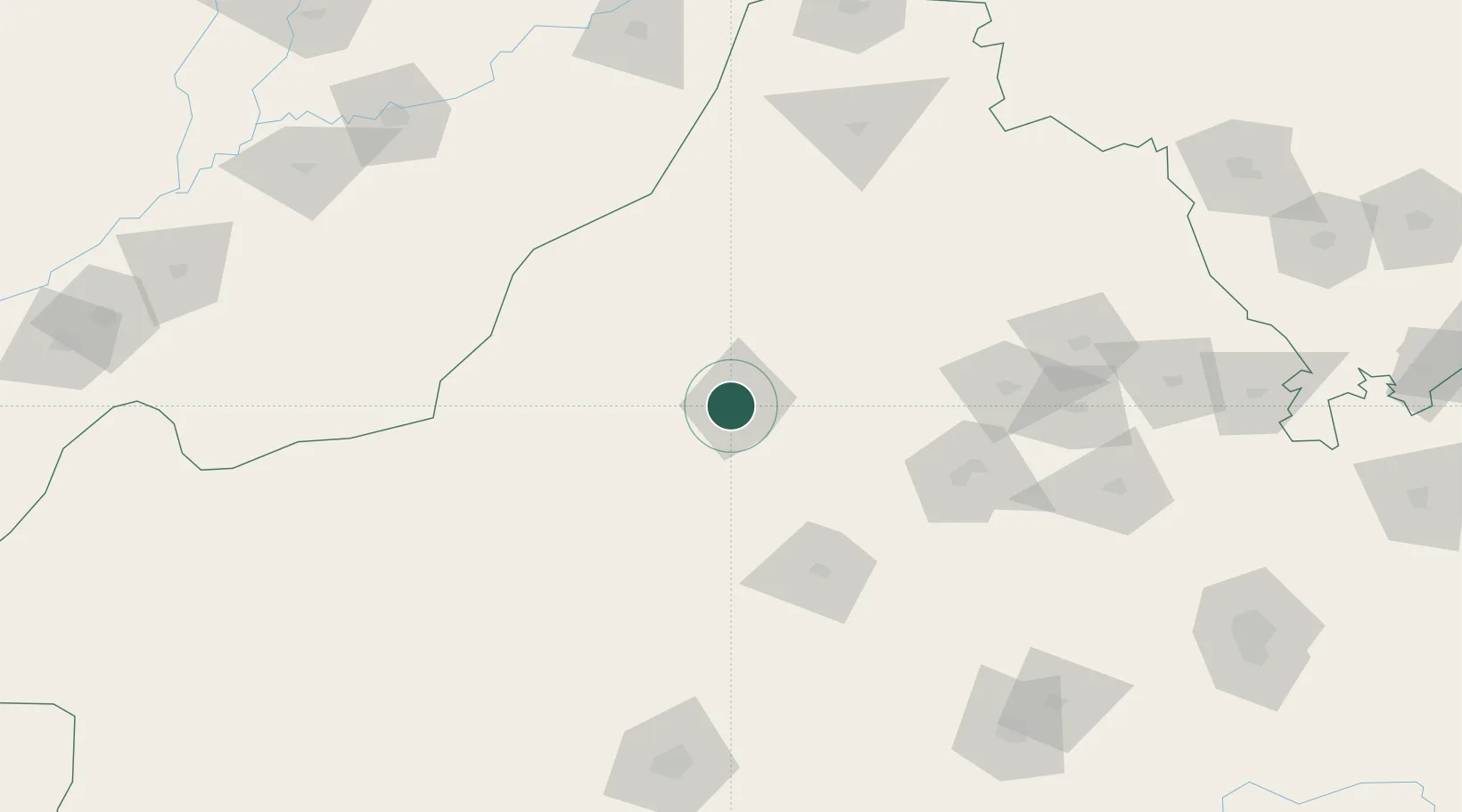
Location
Nearby Logistics Neighbours
Cities
- 1Borawar176 km
- 2Boranada, Jodhpur195 km
- 3Basni200 km
- 4Jodhpur201 km
- 5Hazira226 km
Ports
- 1Navlakhi631 km
- 2Kandla635 km
- 3Bedi688 km
- 4Mundra690 km
- 5Muhamamad Bin Qasim694 km
Airports
- 1Nal Airport11 km
- 2Jodhpur Airport198 km
- 3Bahawalpur Airport214 km
- 4Kishangarh Airport Ajmer218 km
- 5Sirsa Air Force Station239 km
Trade Zones
DatabookThe Record of Consolidated Knowledge
India beyond logistics?