Medium airport · Pakistan

Bahawalpur AirportOPBW
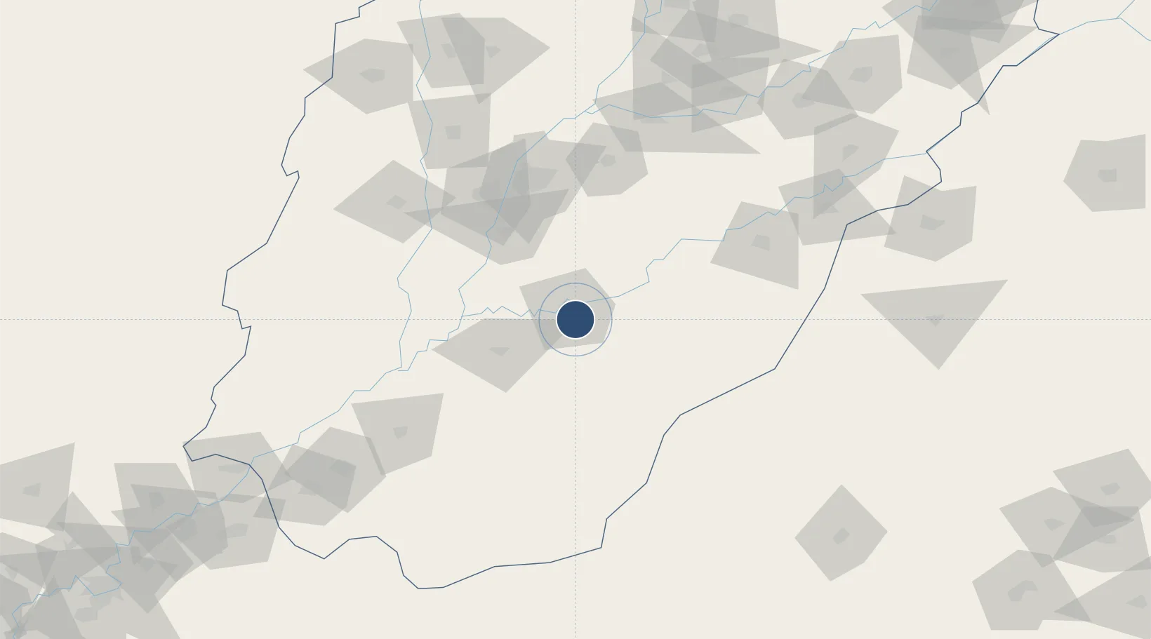
29.3481°, 71.7180°
9,345 ft
Longest runway
1
Runways
392 ft
Elevation

Runway & Layout

Bahawalpur Airport runway & taxiway layout
Runway & taxiway layout — OpenStreetMap (ODbL) / OurAirports

Radio Frequencies

TWR
129.8 MHz
GND
121.8 MHz
OurAirports

Navaids

BW NDB Bahawalpur 332 kHz
OurAirports

Runways · 1

RunwayDimensions SurfaceTrue headingLit
08/26 9,345 × 98ft Asphalt 079°
OurAirports

Airport Specifications

IATA code
BHV
OurAirports
ICAO code
OPBW
OurAirports
Airport class
Medium airport
OurAirports
Scheduled service
Yes
OurAirports
Runway surface
Asphalt
OurAirports
Served city
Bahawalpur
OurAirports

Location

Location of OPBW
Natural Earth 10m (public domain) · Punjab · OPBW · 29.35, 71.72GoogleOSMYandex

Nearby Logistics Neighbours

Airports
  1. 1Multan International Airport99 km
  2. 2Dera Ghazi Khan Airport137 km
  3. 3Rafiqui Air Base166 km
  4. 4Shaikh Zaid Airport176 km
  5. 5Nal Airport203 km
Nearest neighbours — logibook spatial index (haversine) over the source coordinates
Cities
  1. 1Hasilpur45 km
  2. 2Multan92 km
  3. 3Bikaner214 km
  4. 4Faisalabad274 km
  5. 5Hazira326 km
Nearest neighbours — logibook spatial index (haversine) over the source coordinates
Ports
  1. 1Muhamamad Bin Qasim668 km
  2. 2Karachi691 km
  3. 3Kandla718 km
  4. 4Navlakhi722 km
  5. 5Mandvi762 km
Nearest neighbours — logibook spatial index (haversine) over the source coordinates
Trade Zones
  1. 1Vehari Industrial Estate99 km
  2. 2Rahim Yar Khan Industrial Estate184 km
  3. 3Value Addition City283 km
  4. 4M-3 Industrial City290 km
  5. 5Allama Iqbal Industrial City Special Economic Zone298 km
Nearest neighbours — logibook spatial index (haversine) over the source coordinates
DatabookThe Record of Consolidated Knowledge
Pakistan beyond logistics?
Browse databook

All Sources

AirportsOurAirports
Public domain
Portsthe NGA World Port Index
Public domain (US gov)
LocationsUN/LOCODE
UN/LOCODE — free
Trade Zonesthe World Bank SEZ database
CC BY 4.0
Trade ZonesOpen Zone Map
CC BY
InfrastructureOpenStreetMap
ODbL 1.0
← Pakistan airports