Seaport · United Arab Emirates
Mina SaqrAEMSA
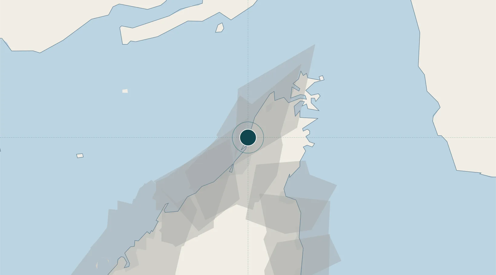
25.9833°, 56.0500°
12.2 m
Channel depth
23.5
Port liner connectivity
Channel & Berth Profile
Pilotage, Tugs & Services
Pilotage compulsoryYES
Pilotage availableYES
Tug assistanceYES
Potable waterYES
Diesel bunkersYES
MedicalYES
Garbage disposalYES
Facilities & Capabilities
Container—
Ro-Ro—
Liquid bulk—
Dry bulk—
Oil terminal—
Break bulk—
Dry dock—
RepairsNO
BunkeringYES
Rail link—
Dangerous cargo—
ISPS security—
Harbour Specifications
Harbour size
Very Small
Harbour type
Coastal (Breakwater)
Shelter
Fair
Water body
Persian Gulf; Indian Ocean
Tidal range
2.3 m
Pilotage
Yes
Liner Connectivity
23.5
PLSCI
Port Liner Shipping Connectivity Index for Mina Saqr, as published by UNCTAD for the latest available quarter. Higher values indicate stronger scheduled liner-shipping integration.
Shown relative to the highest per-port PLSCI in the dataset (1,657.9).
Location
Nearby Logistics Neighbours
Ports
- 1Hulaylah Oil Terminal12 km
- 2Khawr Khasab32 km
- 3Al Jazeera Port40 km
- 4Umm Al Qaywayn65 km
- 5Khawr Fakkan76 km
Cities
- 1Ras al Khaimah1 km
- 2Stevin Rock2 km
- 3Rak Maritime City4 km
- 4Al Jeer Port6 km
- 5Hulaylah Terminal12 km
Airports
Trade Zones
DatabookThe Record of Consolidated Knowledge
United Arab Emirates beyond logistics?