Large airport · Iran

Bandar Abbas International AirportOIKB
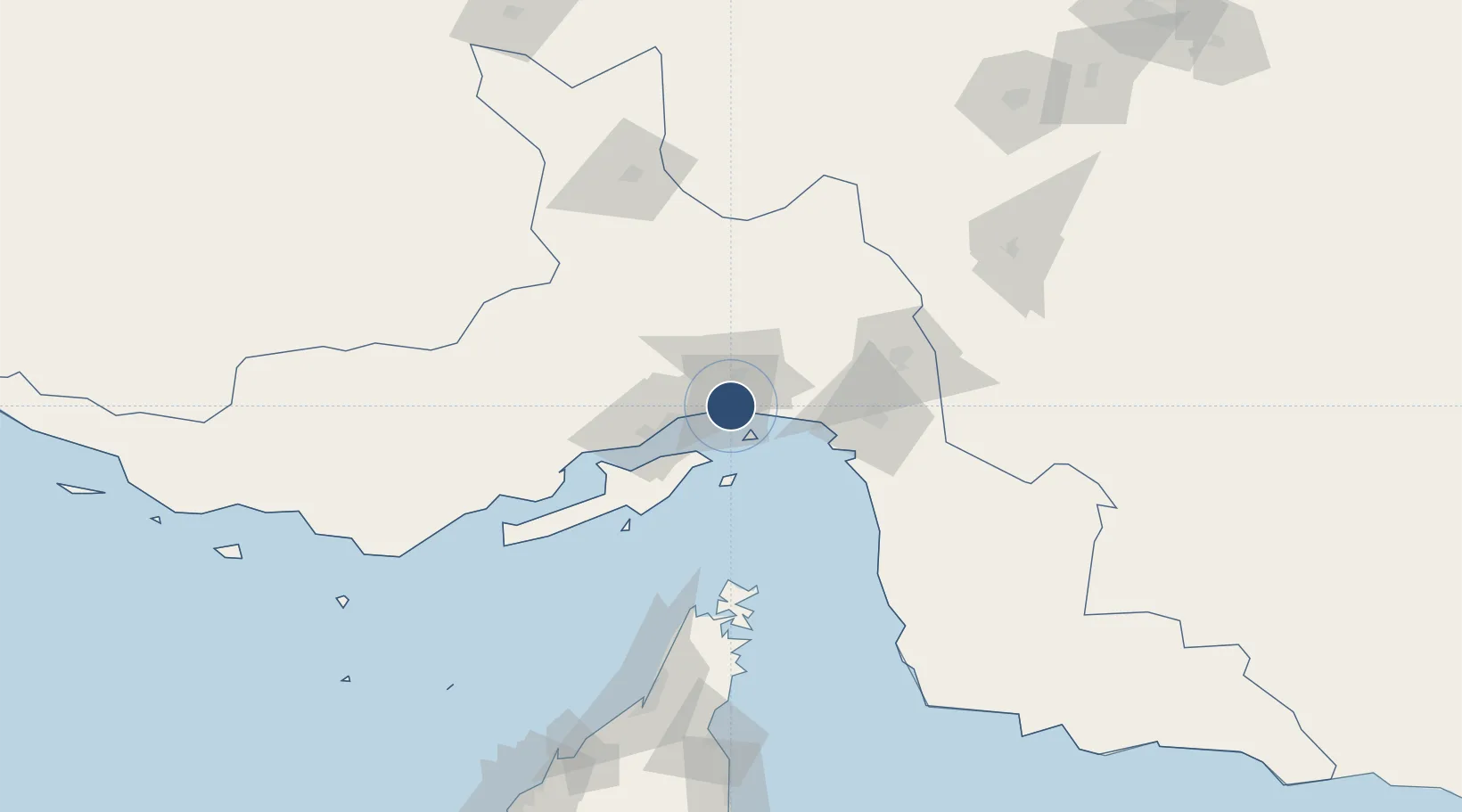
27.2183°, 56.3778°
12,008 ft
Longest runway
2
Runways
22 ft
Elevation

Runway & Layout

Bandar Abbas International Airport runway & taxiway layout
Runway & taxiway layout — OpenStreetMap (ODbL) / OurAirports

Radio Frequencies

ATIS
128.65 MHz
TWR
118.1 MHz
APP
124.2 MHz
OurAirports

Navaids

BND TACAN Bandar Abbass 113.10 MHz
BND VOR-DME Bandar Abbass 117.20 MHz
BND NDB Bandar Abbass 250 kHz
OurAirports

Runways · 2

RunwayDimensions SurfaceTrue headingLit
03R/21L 12,008 × 148ft Asphalt 028°
03L/21R 11,341 × 98ft Asphalt 028°
OurAirports

Airport Specifications

IATA code
BND
OurAirports
ICAO code
OIKB
OurAirports
Airport class
Large airport
OurAirports
Scheduled service
Yes
OurAirports
Runway surface
Asphalt
OurAirports
Served city
Bandar Abbas
OurAirports

Location

Location of OIKB
Natural Earth 10m (public domain) · Hormozgan · OIKB · 27.22, 56.38GoogleOSMYandex

Nearby Logistics Neighbours

Airports
  1. 1Qeshm International Airport70 km
  2. 2Khasab Airport117 km
  3. 3Oghab 44 Airbase125 km
  4. 4Bandar Lengeh International Airport172 km
  5. 5Ras Al Khaimah International Airport184 km
Nearest neighbours — logibook spatial index (haversine) over the source coordinates
Cities
  1. 1Shahid Bahonar20 km
  2. 2Bandar Abbas26 km
  3. 3Shahid Rajaee Pt/Bandar Abbas33 km
  4. 4Kuvei48 km
  5. 5Quoin Island72 km
Nearest neighbours — logibook spatial index (haversine) over the source coordinates
Ports
  1. 1Jazireh-Ye Hormoz15 km
  2. 2Bandar Abbas19 km
  3. 3Bandar-E Shahid Rejaie34 km
  4. 4Khawr Khasab112 km
  5. 5Mina Saqr141 km
Nearest neighbours — logibook spatial index (haversine) over the source coordinates
Trade Zones
  1. 1Special Economic Zone of the Persian Gulf Mining and Metal Industries29 km
  2. 2Qeshm Free Trade - Industrial Zone32 km
  3. 3Shahid Rajaei Saheed Rajaee Port34 km
  4. 4RAK Maritime City Free Zone146 km
  5. 5RAKEZ Academic Zone171 km
Nearest neighbours — logibook spatial index (haversine) over the source coordinates
DatabookThe Record of Consolidated Knowledge
Iran beyond logistics?
Browse databook

All Sources

AirportsOurAirports
Public domain
Portsthe NGA World Port Index
Public domain (US gov)
LocationsUN/LOCODE
UN/LOCODE — free
Trade Zonesthe World Bank SEZ database
CC BY 4.0
Trade ZonesOpen Zone Map
CC BY
InfrastructureOpenStreetMap
ODbL 1.0
← Iran airports