Medium airport · Oman
Khasab AirportOOKB
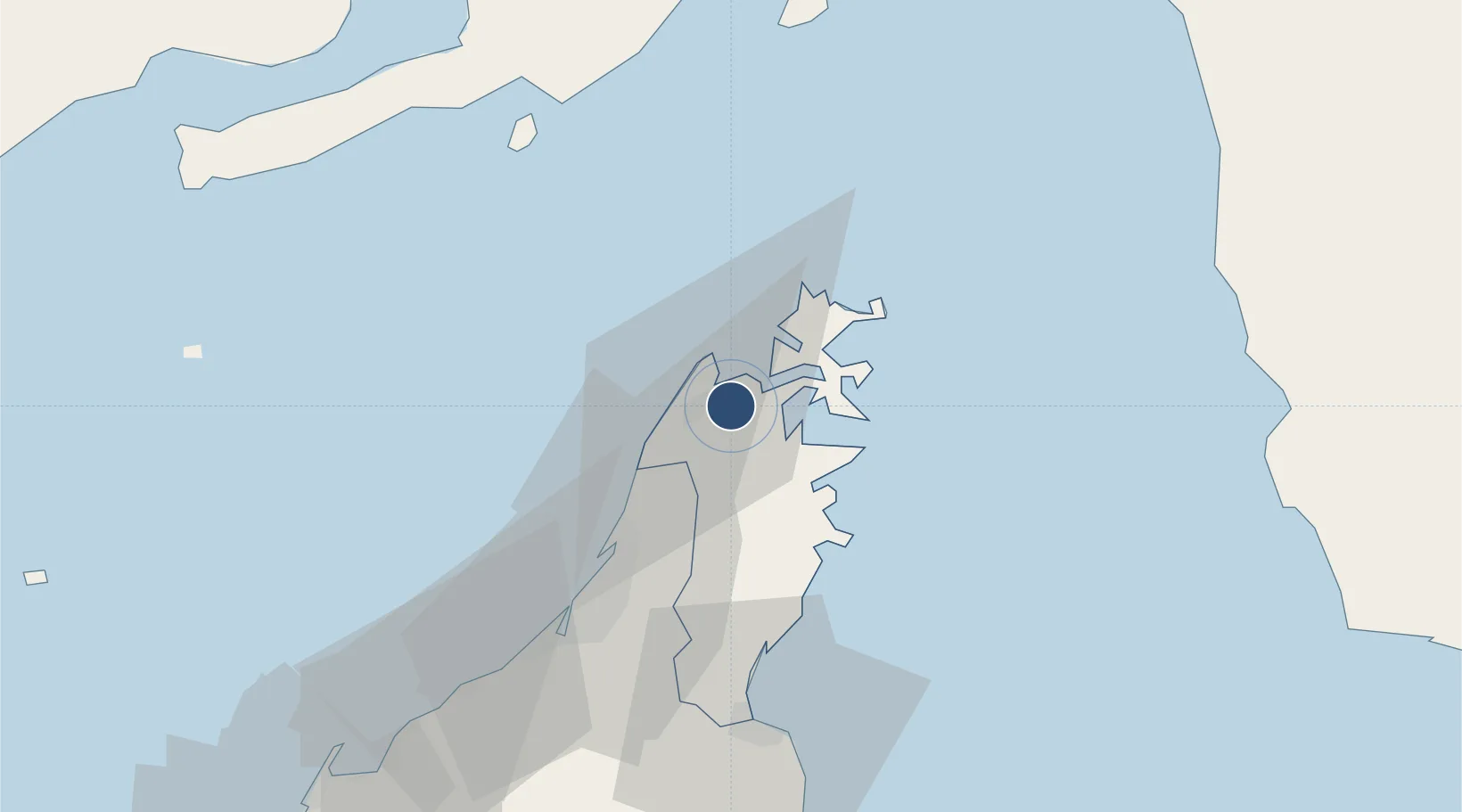
26.1710°, 56.2406°
8,202 ft
Longest runway
1
Runways
100 ft
Elevation
Runway & Layout

Runways · 1
| Runway | Dimensions | Surface | True heading | Lit |
|---|---|---|---|---|
| 01/19 | 8,202 × 75ft | Asphalt | 014° | — |
Airport Specifications
IATA code
KHS
ICAO code
OOKB
Airport class
Medium airport
Scheduled service
Yes
Runway surface
Asphalt
Served city
Khasab
Location
Nearby Logistics Neighbours
Airports
Cities
- 1Al Jeer Port24 km
- 2Ras al Khaimah28 km
- 3Mina Saqr29 km
- 4Stevin Rock30 km
- 5Rak Maritime City31 km
Ports
- 1Khawr Khasab5 km
- 2Mina Saqr28 km
- 3Hulaylah Oil Terminal37 km
- 4Al Jazeera Port68 km
- 5Khawr Fakkan91 km
Trade Zones
DatabookThe Record of Consolidated Knowledge
Oman beyond logistics?