Medium airport · Iran

Rafsanjan AirportOIKR
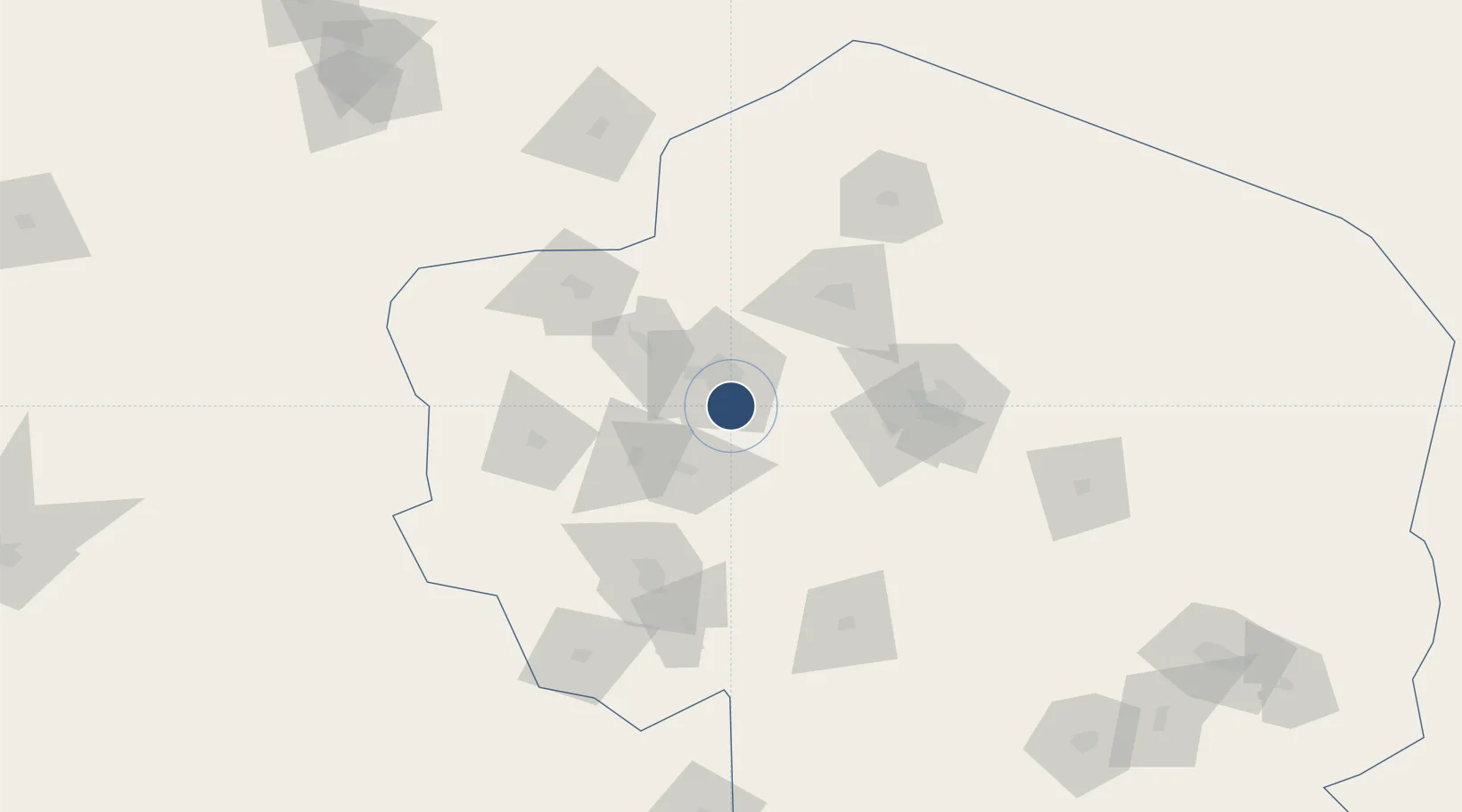
30.2983°, 56.0490°
9,814 ft
Longest runway
1
Runways
5,298 ft
Elevation

Runway & Layout

Rafsanjan Airport runway & taxiway layout
Runway & taxiway layout — OpenStreetMap (ODbL) / OurAirports

Radio Frequencies

AFIS
118.7 MHz
INFO
OurAirports

Navaids

RAF NDB-DME Rafsanjan 0.26 MHz
OurAirports

Runways · 1

RunwayDimensions SurfaceTrue headingLit
11/29 9,814 × 148ft Asphalt 112°
OurAirports

Airport Specifications

IATA code
RJN
OurAirports
ICAO code
OIKR
OurAirports
Airport class
Medium airport
OurAirports
Scheduled service
Yes
OurAirports
Runway surface
Asphalt
OurAirports
Served city
Rafsanjan
OurAirports

Location

Location of OIKR
Natural Earth 10m (public domain) · Kerman · OIKR · 30.30, 56.05GoogleOSMYandex

Nearby Logistics Neighbours

Airports
  1. 1Ayatollah Hashemi Rafsanjani International Airport87 km
  2. 2Sirjan Airport91 km
  3. 3Jiroft Airport235 km
  4. 4Shahid Sadooghi Airport246 km
  5. 5Oghab 44 Airbase255 km
Nearest neighbours — logibook spatial index (haversine) over the source coordinates
Cities
  1. 1Dehbid275 km
  2. 2Abadeh339 km
  3. 3Bandar Abbas352 km
  4. 4Shahid Bahonar352 km
  5. 5Shahid Rajaee Pt/Bandar Abbas354 km
Nearest neighbours — logibook spatial index (haversine) over the source coordinates
Ports
  1. 1Bandar Abbas350 km
  2. 2Bandar-E Shahid Rejaie356 km
  3. 3Jazireh-Ye Hormoz358 km
  4. 4Khawr Khasab454 km
  5. 5Jazireh-Ye Lavan Oil Terminal472 km
Nearest neighbours — logibook spatial index (haversine) over the source coordinates
Trade Zones
  1. 1Rafsanjan Special Economic Zone16 km
  2. 2Sirjan Special Economic Zone98 km
  3. 3Neyriz Special Economic Zone210 km
  4. 4Arg-e-Jadid Special Economic Zone273 km
  5. 5Jahrom Special Economic Zone306 km
Nearest neighbours — logibook spatial index (haversine) over the source coordinates
DatabookThe Record of Consolidated Knowledge
Iran beyond logistics?
Browse databook

All Sources

AirportsOurAirports
Public domain
Portsthe NGA World Port Index
Public domain (US gov)
LocationsUN/LOCODE
UN/LOCODE — free
Trade Zonesthe World Bank SEZ database
CC BY 4.0
Trade ZonesOpen Zone Map
CC BY
InfrastructureOpenStreetMap
ODbL 1.0
← Iran airports