Medium airport · New Zealand
Inia William Tuuta Memorial AirportNZCI
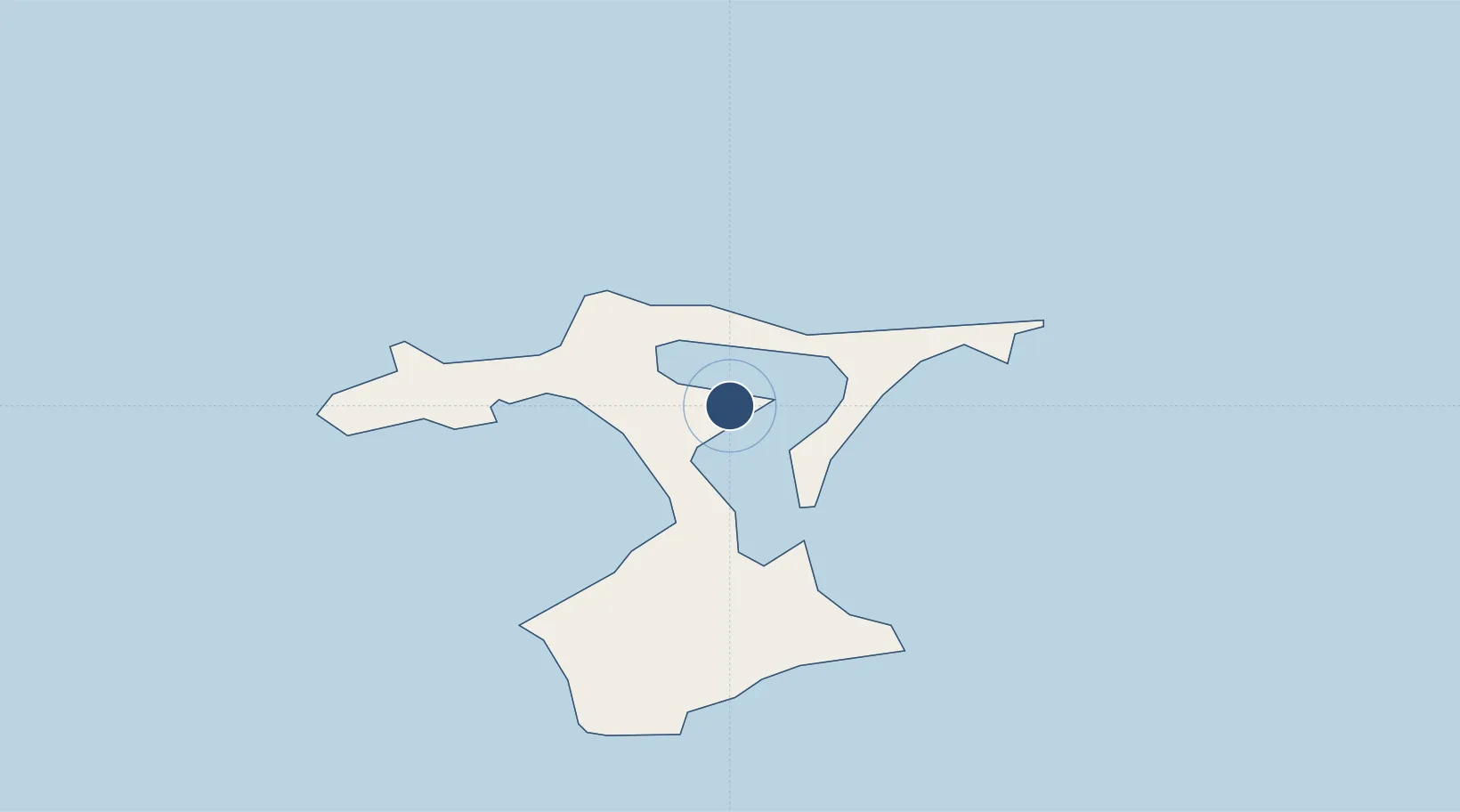
-43.8119°, -176.4651°
4,462 ft
Longest runway
1
Runways
43 ft
Elevation
Runway & Layout

Radio Frequencies
CTAF
118.1 MHz
A/G
118.1 MHz
RDO
Navaids
CI NDB Chatham Islands 322 kHz
Runways · 1
| Runway | Dimensions | Surface | True heading | Lit |
|---|---|---|---|---|
| 05/23 | 4,462 × 148ft | Asphalt | 072° | ✓ |
Airport Specifications
IATA code
CHT
ICAO code
NZCI
Airport class
Medium airport
Scheduled service
Yes
Runway surface
Asphalt
Served city
Te One
Location
Nearby Logistics Neighbours
Airports
- 1Pitt Island Aerodrome58 km
- 2Kaufana Airport2498 km
- 3Fua'amotu International Airport2513 km
- 4Lifuka Island Airport2680 km
- 5Vava'u International Airport2815 km
Cities
- 1Nuku'alofa2525 km
- 2Alofi2820 km
- 3Sigavé3287 km
- 4Auti3306 km
- 5Moerai3308 km
Ports
- 1Nuku Alofa2525 km
- 2Pangai2677 km
- 3Neiafu2808 km
- 4Alofi2822 km
- 5Avatiu2948 km
Trade Zones
- 1FTZ No. 009 Honolulu7485 km
- 2The Special Economic Zone of Lázaro Cárdenas - La Unión10181 km
- 3FTZ No. 153 San Diego10413 km
- 4FTZ No. 202 Los Angeles10442 km
- 5FTZ No. 050 Long Beach10457 km
DatabookThe Record of Consolidated Knowledge
New Zealand beyond logistics?