Runway & Layout

Airport Specifications
ICAO code
NZPT
Airport class
Small airport
Scheduled service
Yes
Served city
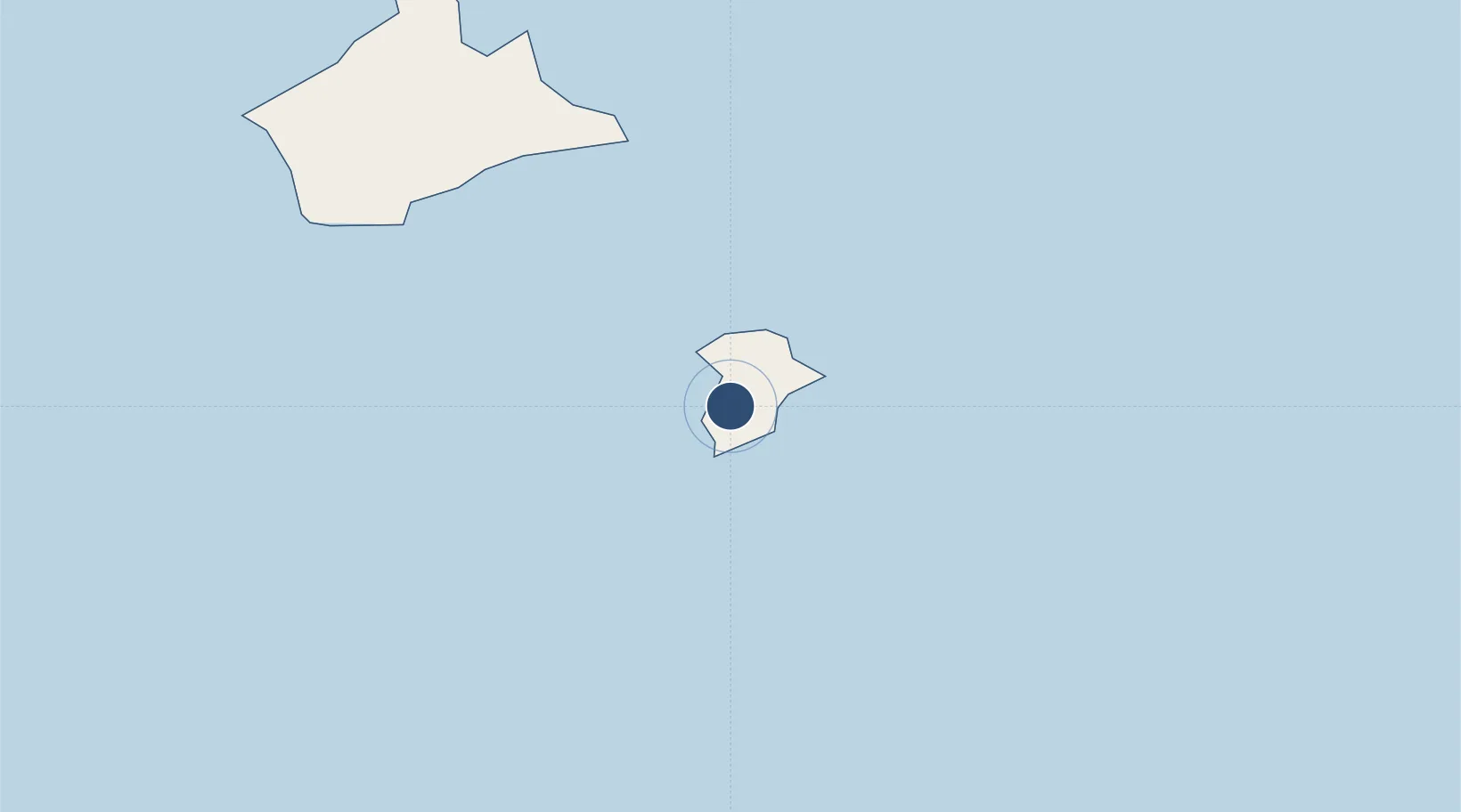
Pitt Island
Location
Nearby Logistics Neighbours
Airports
- 1Inia William Tuuta Memorial Airport58 km
- 2Kaufana Airport2551 km
- 3Fua'amotu International Airport2565 km
- 4Lifuka Island Airport2732 km
- 5Niue International Airport2864 km
Cities
- 1Nuku'alofa2577 km
- 2Alofi2867 km
- 3Auti3322 km
- 4Moerai3324 km
- 5Sigavé3342 km
Ports
- 1Nuku Alofa2577 km
- 2Pangai2729 km
- 3Neiafu2859 km
- 4Alofi2869 km
- 5Avatiu2979 km
Trade Zones
- 1FTZ No. 009 Honolulu7529 km
- 2The Special Economic Zone of Lázaro Cárdenas - La Unión10183 km
- 3FTZ No. 153 San Diego10435 km
- 4FTZ No. 202 Los Angeles10465 km
- 5FTZ No. 050 Long Beach10480 km
DatabookThe Record of Consolidated Knowledge
New Zealand beyond logistics?