Small airport · Vanuatu
Futuna AirportNVVF
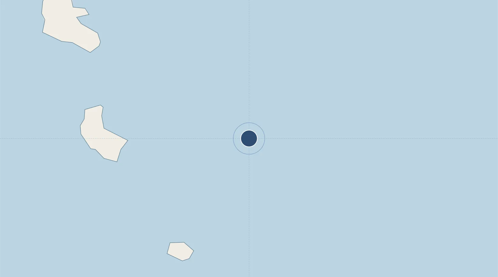
-19.5164°, 170.2320°
2,297 ft
Longest runway
1
Runways
95 ft
Elevation
Runway & Layout

Runways · 1
| Runway | Dimensions | Surface | True heading | Lit |
|---|---|---|---|---|
| 14/32 | 2,297 × 115ft | Coral | — | — |
Airport Specifications
IATA code
FTA
ICAO code
NVVF
Airport class
Small airport
Scheduled service
Yes
Runway surface
Coral
Served city
Futuna Island
Location
Nearby Logistics Neighbours
Airports
- 1Whitegrass Airport106 km
- 2Bauerfield International Airport285 km
- 3Tiga Airport308 km
- 4Maré Airport316 km
- 5Tongoa Airport342 km
Cities
- 1Havannah Harbour301 km
- 2Maré322 km
- 3Lifou352 km
- 4Prony472 km
- 5Le Mont-Dore488 km
Ports
- 1Port Vila283 km
- 2Noumea500 km
- 3Baie De Kouaoua505 km
- 4Baie Ugue521 km
- 5Luganville551 km
Trade Zones
- 1Vanuatu Economic Development Zone552 km
- 2Lautoka Special Zone788 km
- 3Rotuma-Kadavu Tax-Free Region875 km
- 4Kalabu Tax Free Zone883 km
- 5Nausori-Ba Tax-Free Region888 km
DatabookThe Record of Consolidated Knowledge
Vanuatu beyond logistics?