Transport Functions
Port
Road
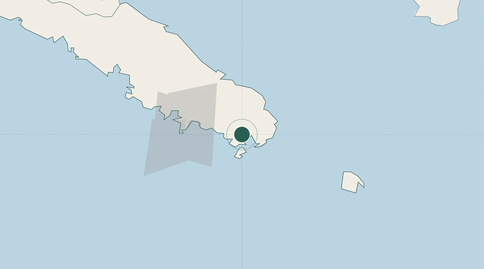
Hub Profile
Place type
Populated place
Region
South Province
Time zone
Pacific/Noumea
Elevation
13 m
Location
Nearby Logistics Neighbours
Cities
- 1Le Mont-Dore24 km
- 2Ducos39 km
- 3Nouméa40 km
- 4Nakéty118 km
- 5Kouaoua144 km
Ports
- 1Noumea40 km
- 2Baie De Kouaoua146 km
- 3Baie Ugue184 km
- 4Port Vila533 km
- 5Luganville757 km
Airports
- 1Nouméa Magenta Airport36 km
- 2La Tontouta International Airport71 km
- 3Île des Pins Airport72 km
- 4Maré Airport157 km
- 5Tiga Airport170 km
Trade Zones
- 1Vanuatu Economic Development Zone758 km
- 2Lautoka Special Zone1226 km
- 3Rotuma-Kadavu Tax-Free Region1296 km
- 4Kalabu Tax Free Zone1304 km
- 5Nausori-Ba Tax-Free Region1311 km
DatabookThe Record of Consolidated Knowledge
New Caledonia beyond logistics?