Transport Functions
Port
Multimodal
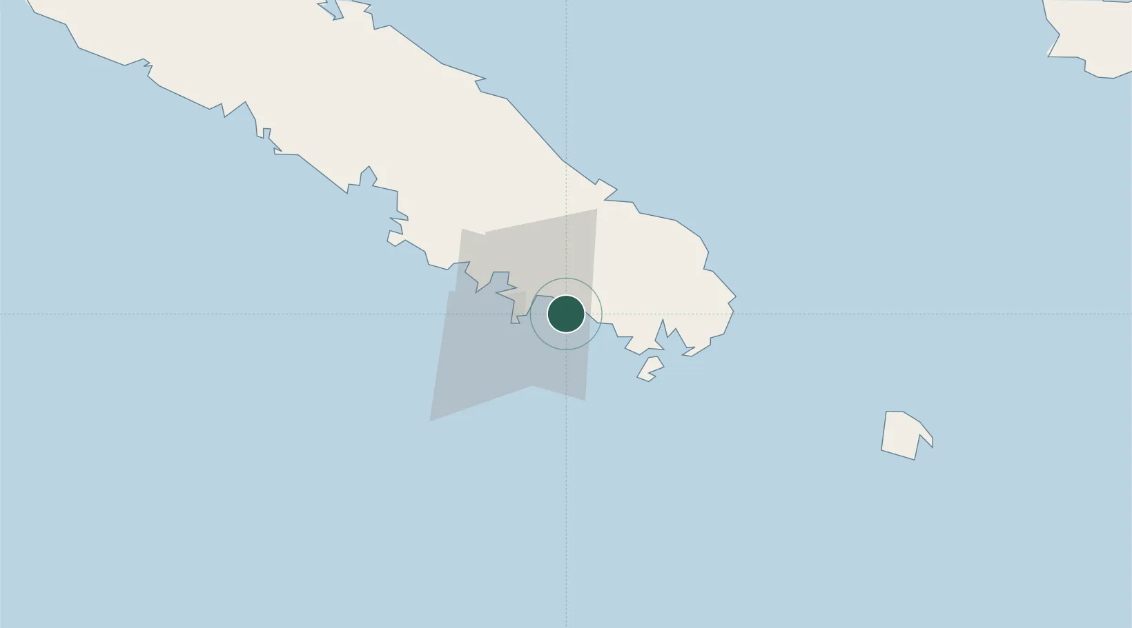
Location
Nearby Logistics Neighbours
Ports
- 1Noumea15 km
- 2Baie De Kouaoua128 km
- 3Baie Ugue165 km
- 4Port Vila537 km
- 5Luganville755 km
Airports
- 1Nouméa Magenta Airport12 km
- 2La Tontouta International Airport49 km
- 3Île des Pins Airport96 km
- 4Maré Airport175 km
- 5Lifou Airport181 km
Trade Zones
- 1Vanuatu Economic Development Zone756 km
- 2Lautoka Special Zone1247 km
- 3Rotuma-Kadavu Tax-Free Region1318 km
- 4Kalabu Tax Free Zone1326 km
- 5Nausori-Ba Tax-Free Region1333 km
DatabookThe Record of Consolidated Knowledge
New Caledonia beyond logistics?