Runway & Layout
Airport Specifications
IATA code
TGJ
ICAO code
NWWA
Airport class
Medium airport
Scheduled service
Yes
Served city
Tiga
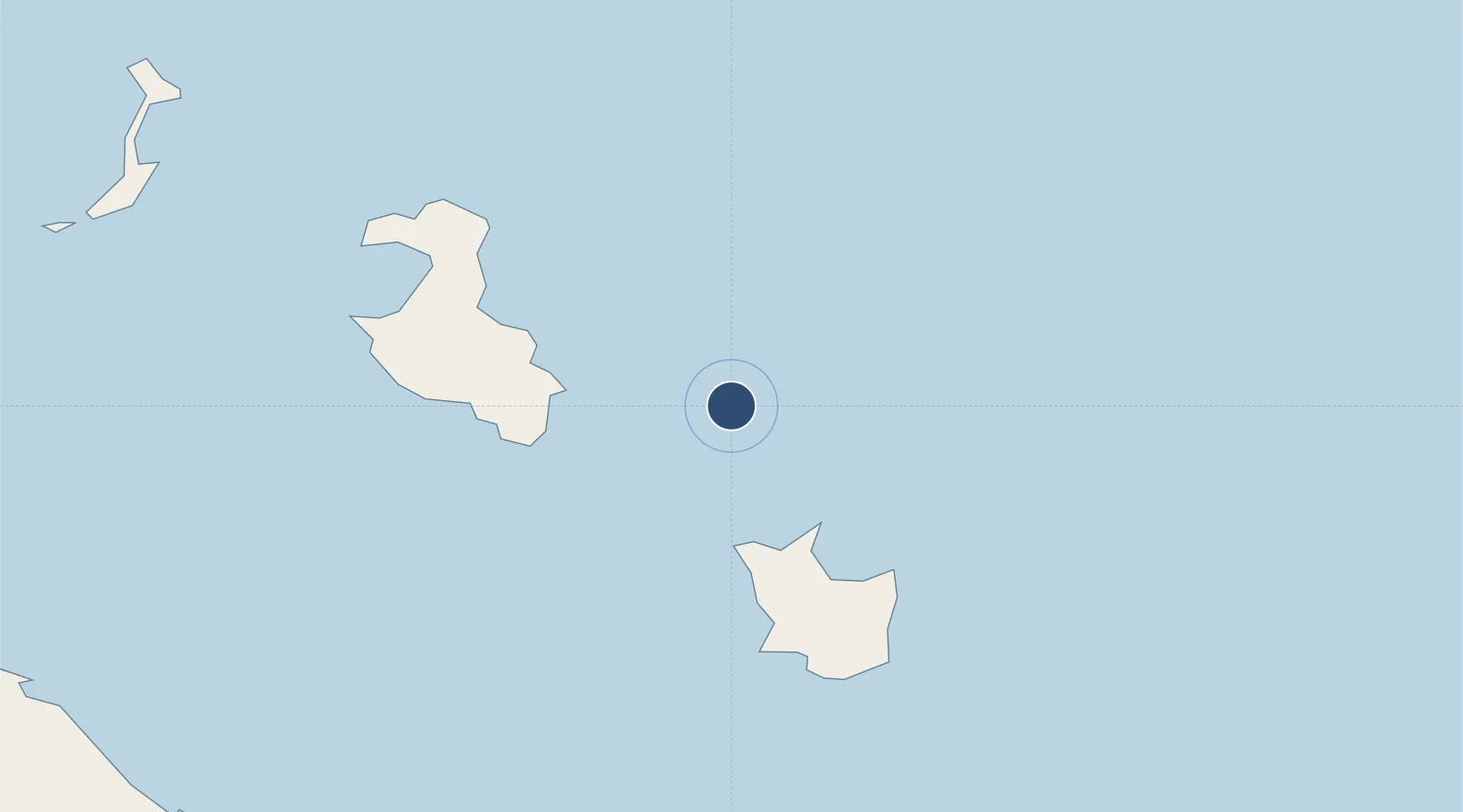
Location
Nearby Logistics Neighbours
Airports
- 1Maré Airport49 km
- 2Lifou Airport69 km
- 3Ouvéa Airport138 km
- 4Île des Pins Airport170 km
- 5Nouméa Magenta Airport189 km
Cities
- 1Maré49 km
- 2Lifou61 km
- 3Prony170 km
- 4Le Mont-Dore183 km
- 5Ducos189 km
Ports
- 1Noumea194 km
- 2Baie De Kouaoua208 km
- 3Baie Ugue234 km
- 4Port Vila378 km
- 5Luganville624 km
Trade Zones
- 1Vanuatu Economic Development Zone625 km
- 2Lautoka Special Zone1082 km
- 3Rotuma-Kadavu Tax-Free Region1159 km
- 4Kalabu Tax Free Zone1167 km
- 5Nausori-Ba Tax-Free Region1174 km
DatabookThe Record of Consolidated Knowledge
New Caledonia beyond logistics?