Medium airport · Cuba

Mariana Grajales AirportMUGT
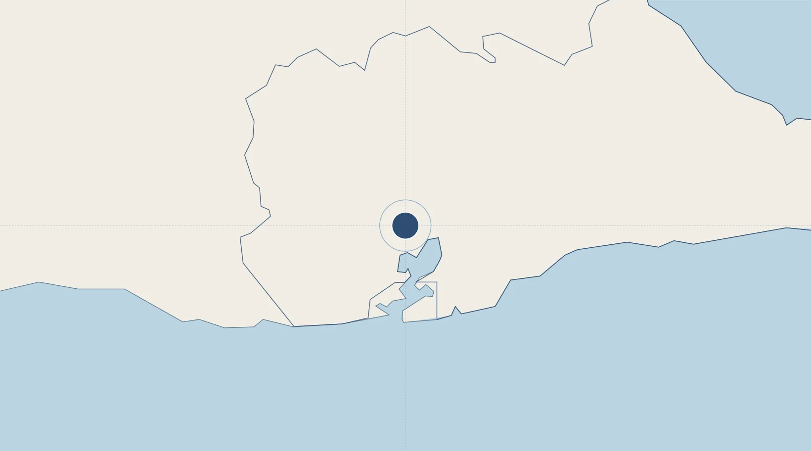
20.0853°, -75.1583°
8,025 ft
Longest runway
1
Runways
56 ft
Elevation

Runway & Layout

Mariana Grajales Airport runway & taxiway layout
Runway & taxiway layout — OpenStreetMap (ODbL) / OurAirports

Radio Frequencies

TWR
122.6 MHz
GUANTANAMO TWR
A/G
340.7 MHz
GUANTANAMO RDO
OurAirports

Navaids

UGT NDB Guantanamo 300 kHz
OurAirports

Runways · 1

RunwayDimensions SurfaceTrue headingLit
17/35 8,025 × 148ft Asphalt 166°
OurAirports

Airport Specifications

IATA code
GAO
OurAirports
ICAO code
MUGT
OurAirports
Airport class
Medium airport
OurAirports
Scheduled service
No
OurAirports
Runway surface
Asphalt
OurAirports
Served city
Guantánamo
OurAirports

Location

Location of MUGT
Natural Earth 10m (public domain) · Guantánamo · MUGT · 20.09, -75.16GoogleOSMYandex

Nearby Logistics Neighbours

Airports
  1. 1Leeward Point Field21 km
  2. 2Orestes Acosta Airport68 km
  3. 3Antonio Maceo International Airport72 km
  4. 4Gustavo Rizo Airport75 km
  5. 5Frank Pais International Airport144 km
Nearest neighbours — logibook spatial index (haversine) over the source coordinates
Cities
  1. 1Sagua de Tánamo56 km
  2. 2Santiago de Cuba72 km
  3. 3Melgarejo81 km
  4. 4Pilón109 km
  5. 5Antilla110 km
Nearest neighbours — logibook spatial index (haversine) over the source coordinates
Ports
  1. 1Puerto Guantanamo12 km
  2. 2Bahia De Sagua De Tanamo69 km
  3. 3Cayo Moa Grande70 km
  4. 4Santiago De Cuba71 km
  5. 5Baracoa75 km
Nearest neighbours — logibook spatial index (haversine) over the source coordinates
Trade Zones
  1. 158 HWT Tech Park288 km
  2. 2Garmex Free Zone292 km
  3. 3Kingston Free Zone292 km
  4. 4Kingston Wharves Terminal Special Economic Zone292 km
  5. 5Caymanas Special Economic Zone294 km
Nearest neighbours — logibook spatial index (haversine) over the source coordinates
DatabookThe Record of Consolidated Knowledge
Cuba beyond logistics?
Browse databook

All Sources

AirportsOurAirports
Public domain
Portsthe NGA World Port Index
Public domain (US gov)
LocationsUN/LOCODE
UN/LOCODE — free
Trade Zonesthe World Bank SEZ database
CC BY 4.0
Trade ZonesOpen Zone Map
CC BY
InfrastructureOpenStreetMap
ODbL 1.0
← Cuba airports