UN/LOCODE hub · Cuba
CUSCU
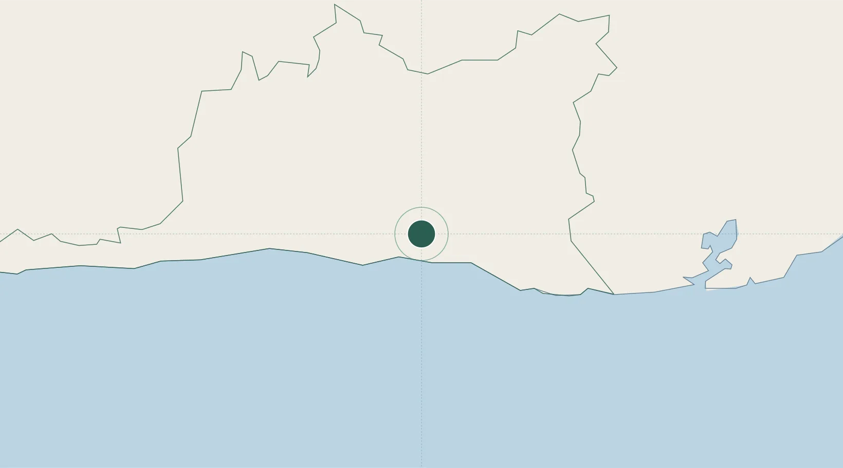
Santiago de Cuba
20.0266°, -75.8400°
555,865
Population
2
Transport functions
Transport Functions
Port
Airport
Hub Profile
Place type
Regional capital
Region
Santiago de Cuba Province
Population
555,865
Time zone
America/Havana
Elevation
33 m
Logistics facilities
2
Location
Nearby Logistics Neighbours
Cities
- 1Melgarejo10 km
- 2Sagua de Tánamo89 km
- 3Antilla90 km
- 4Pilón92 km
- 5Banes105 km
Ports
- 1Puerto Guantanamo74 km
- 2Felton83 km
- 3Nicaro83 km
- 4Preston85 km
- 5Bahia De Sagua De Tanamo90 km
Airports
Trade Zones
- 158 HWT Tech Park246 km
- 2Kingston Free Zone250 km
- 3Kingston Wharves Terminal Special Economic Zone250 km
- 4Garmex Free Zone250 km
- 5Caymanas Special Economic Zone251 km
DatabookThe Record of Consolidated Knowledge
Cuba beyond logistics?