Medium airport · Cuba
Leeward Point FieldMUGM
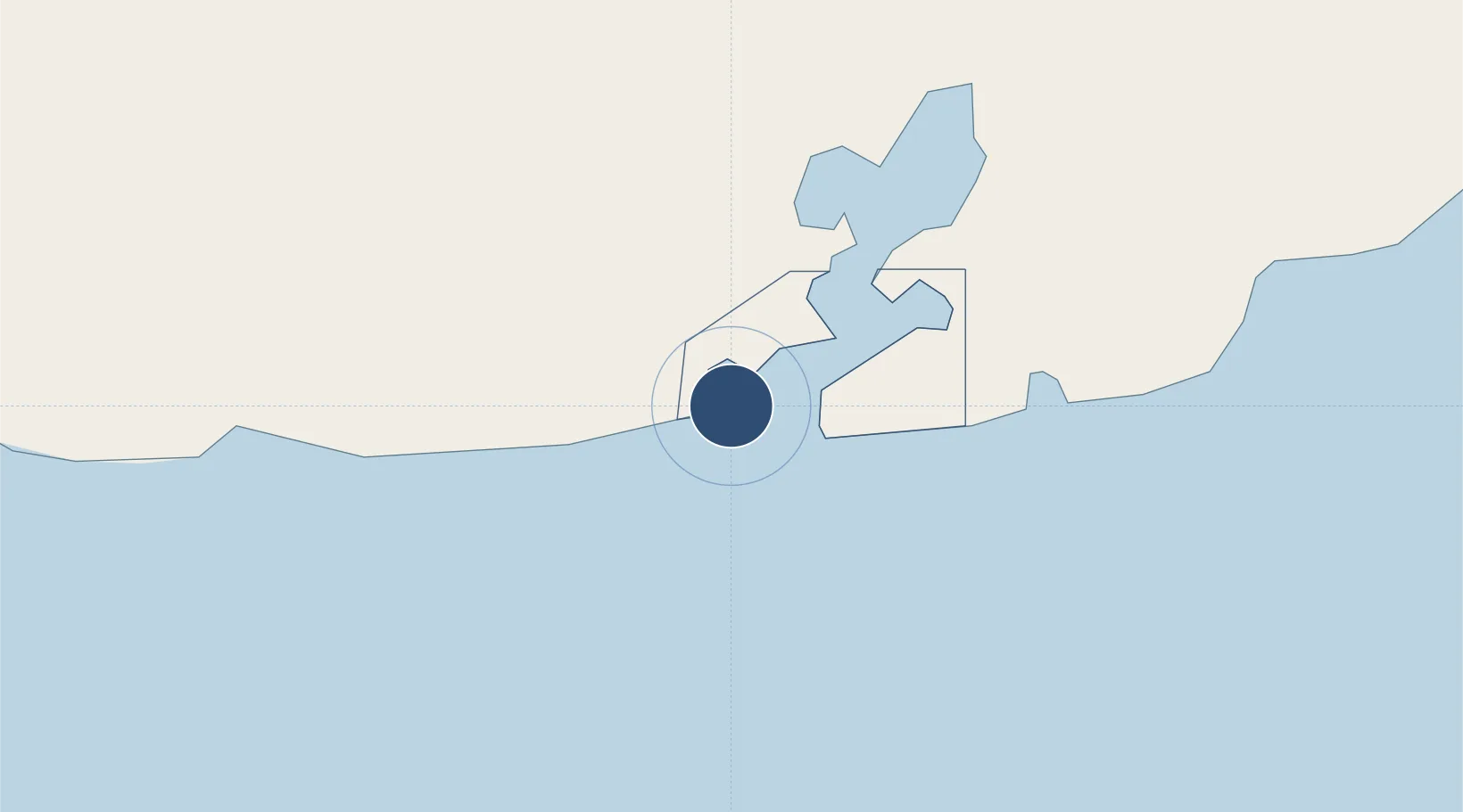
19.9065°, -75.2071°
8,000 ft
Longest runway
1
Runways
56 ft
Elevation
Runway & Layout

Radio Frequencies
ASOS
136.175 MHz
TWR
134.1 MHz
LEEWARD TWR
GND
118.45 MHz
CTAF
134.1 MHz
PMSV
126.2 MHz
METRO
Navaids
NBW VOR Guantanamo Bay Ns 114.60 MHz
NBW TACAN Guantanamo Bay Ns 114.60 MHz
Runways · 1
| Runway | Dimensions | Surface | True heading | Lit |
|---|---|---|---|---|
| 10/28 | 8,000 × 200ft | Asphalt | 090° | ✓ |
Airport Specifications
IATA code
NBW
ICAO code
MUGM
Airport class
Medium airport
Scheduled service
No
Runway surface
Asphalt
Served city
Guantanamo Bay Naval Station
Location
Nearby Logistics Neighbours
Airports
Cities
- 1Santiago de Cuba68 km
- 2Sagua de Tánamo75 km
- 3Melgarejo78 km
- 4Pilón123 km
- 5Antilla123 km
Ports
- 1Puerto Guantanamo12 km
- 2Santiago De Cuba67 km
- 3Bahia De Sagua De Tanamo87 km
- 4Baracoa89 km
- 5Cayo Moa Grande90 km
Trade Zones
- 158 HWT Tech Park269 km
- 2Garmex Free Zone273 km
- 3Kingston Free Zone273 km
- 4Kingston Wharves Terminal Special Economic Zone273 km
- 5Caymanas Special Economic Zone276 km
DatabookThe Record of Consolidated Knowledge
Cuba beyond logistics?