Medium airport · Costa Rica

Quepos Managua AirportMRQP
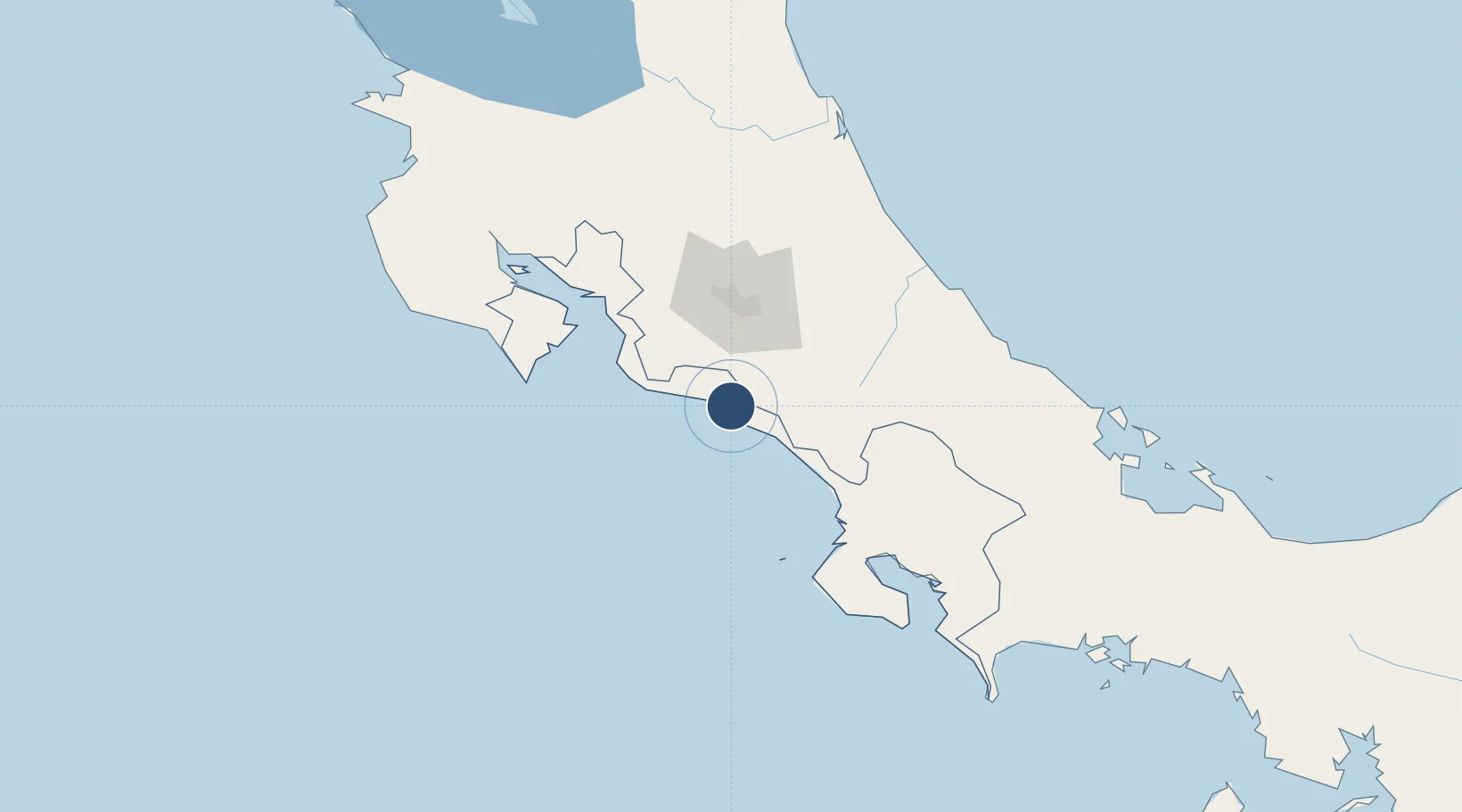
9.4432°, -84.1298°
3,609 ft
Longest runway
1
Runways
85 ft
Elevation

Runway & Layout

Quepos Managua Airport runway & taxiway layout
Runway & taxiway layout — OpenStreetMap (ODbL) / OurAirports

Radio Frequencies

RDO
126.8 MHz
COCO RDO
OurAirports

Navaids

PAR NDB Parrita 395 kHz
OurAirports

Runways · 1

RunwayDimensions SurfaceTrue headingLit
04/22 3,609 × 36ft Asphalt 041°
OurAirports

Airport Specifications

IATA code
XQP
OurAirports
ICAO code
MRQP
OurAirports
Airport class
Medium airport
OurAirports
Scheduled service
Yes
OurAirports
Runway surface
Asphalt
OurAirports
Served city
Quepos
OurAirports

Location

Location of MRQP
Natural Earth 10m (public domain) · Puntarenas · MRQP · 9.44, -84.13GoogleOSMYandex

Nearby Logistics Neighbours

Airports
  1. 1Tobías Bolaños International Airport57 km
  2. 2Juan Santamaría International Airport62 km
  3. 3Palmar Sur Airport91 km
  4. 4Buenos Aires Airport93 km
  5. 5Guapiles Airport94 km
Nearest neighbours — logibook spatial index (haversine) over the source coordinates
Cities
  1. 1Parrita22 km
  2. 2San Marcos de Tarrazu27 km
  3. 3Santa Cruz33 km
  4. 4Tejar36 km
  5. 5San Ignacio de Acosta40 km
Nearest neighbours — logibook spatial index (haversine) over the source coordinates
Ports
  1. 1Puerto Quepos4 km
  2. 2Puerto Caldera83 km
  3. 3Puntarenas98 km
  4. 4Puerto Moin130 km
  5. 5Puerto Limon136 km
Nearest neighbours — logibook spatial index (haversine) over the source coordinates
Trade Zones
  1. 1Zeta Free Zone Catargo50 km
  2. 2Lima Free Zone and Business Park51 km
  3. 3Torre Universal55 km
  4. 4UltraPark Escazú55 km
  5. 5Del Este Free Zone56 km
Nearest neighbours — logibook spatial index (haversine) over the source coordinates
DatabookThe Record of Consolidated Knowledge
Costa Rica beyond logistics?
Browse databook

All Sources

AirportsOurAirports
Public domain
Portsthe NGA World Port Index
Public domain (US gov)
LocationsUN/LOCODE
UN/LOCODE — free
Trade Zonesthe World Bank SEZ database
CC BY 4.0
Trade ZonesOpen Zone Map
CC BY
InfrastructureOpenStreetMap
ODbL 1.0
← Costa Rica airports