Transport Functions
Multimodal
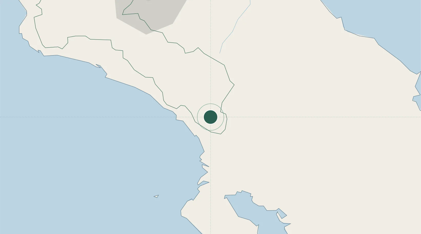
Hub Profile
Place type
Populated place
Region
San José
Time zone
America/Costa_Rica
Elevation
430 m
Location
Nearby Logistics Neighbours
Cities
- 1Palmares20 km
- 2Palmar Norte25 km
- 3Tapanti70 km
- 4Golfito74 km
- 5San Marcos de Tarrazu76 km
Ports
- 1Puerto Quepos72 km
- 2Golfito74 km
- 3Puerto Moin107 km
- 4Puerto Limon109 km
- 5Puerto Armuelles127 km
Airports
- 1Buenos Aires Airport26 km
- 2Palmar Sur Airport26 km
- 3Quepos Managua Airport69 km
- 4Golfito Airport71 km
- 5Puerto Jimenez Airport76 km
Trade Zones
DatabookThe Record of Consolidated Knowledge
Costa Rica beyond logistics?