Transport Functions
Road
Multimodal
Hub Profile
Place type
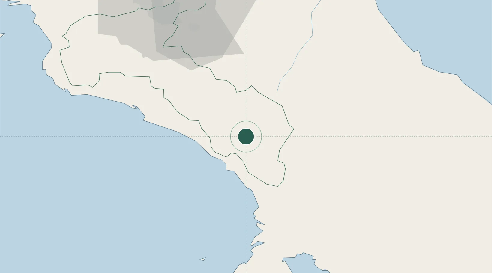
Populated place
Region
San José
Time zone
America/Costa_Rica
Elevation
606 m
Location
Nearby Logistics Neighbours
Cities
- 1Pejibaye20 km
- 2Palmar Norte45 km
- 3Tapanti51 km
- 4San Marcos de Tarrazu56 km
- 5Santa Cruz59 km
Ports
- 1Puerto Quepos56 km
- 2Golfito94 km
- 3Puerto Moin99 km
- 4Puerto Limon103 km
- 5Puerto Caldera133 km
Airports
- 1Buenos Aires Airport41 km
- 2Palmar Sur Airport46 km
- 3Quepos Managua Airport53 km
- 4Tobías Bolaños International Airport88 km
- 5Golfito Airport91 km
Trade Zones
DatabookThe Record of Consolidated Knowledge
Costa Rica beyond logistics?