Small airport · Panama

Scarlett Martinez International AirportMPSM
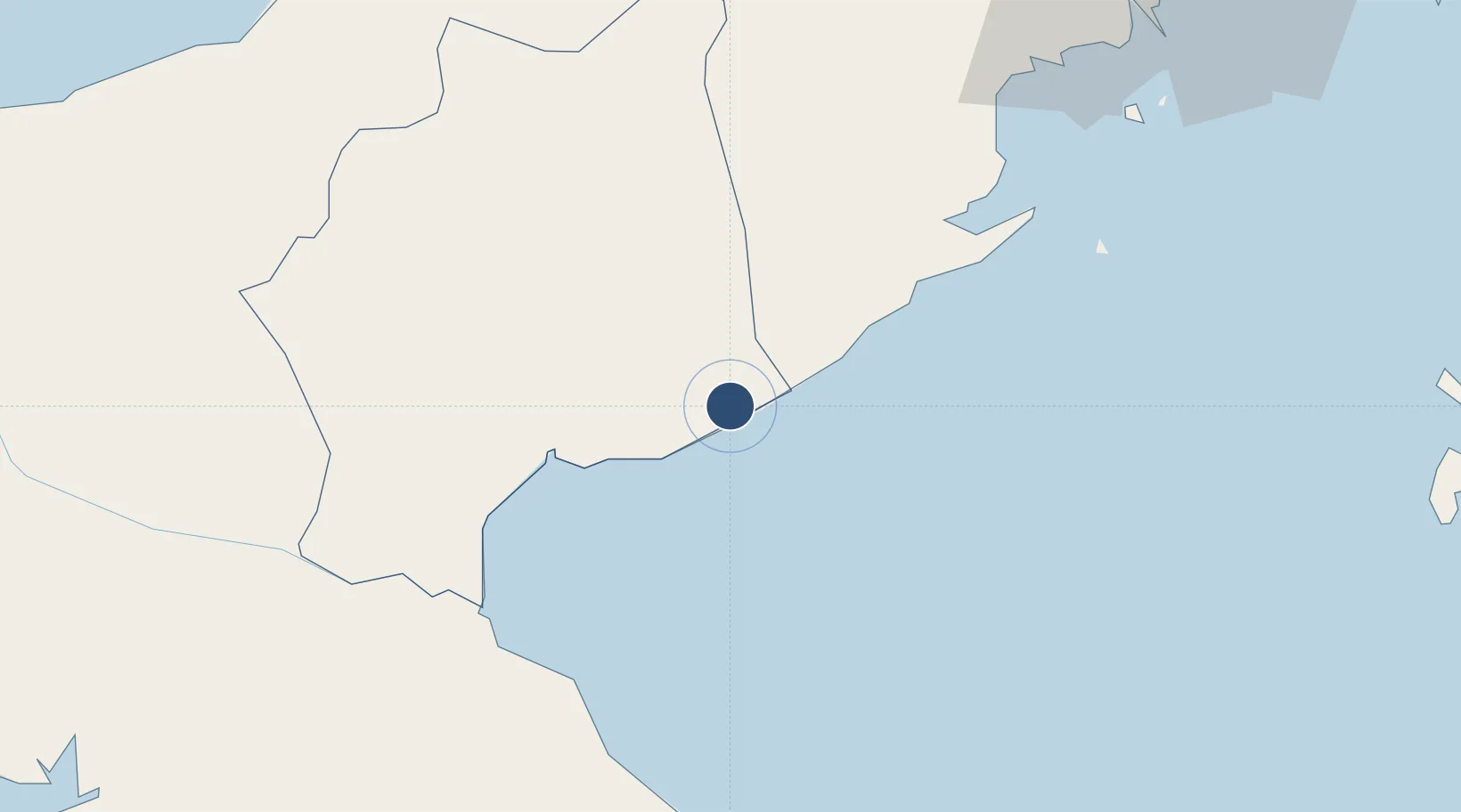
8.3759°, -80.1279°
8,038 ft
Longest runway
1
Runways
105 ft
Elevation

Runway & Layout

Scarlett Martinez International Airport runway & taxiway layout
Runway & taxiway layout — OpenStreetMap (ODbL) / OurAirports

Radio Frequencies

Tower
118.2 MHz
OurAirports

Runways · 1

RunwayDimensions SurfaceTrue headingLit
17/35 8,038 × 148ft Asphalt 165°
OurAirports

Airport Specifications

IATA code
RIH
OurAirports
ICAO code
MPSM
OurAirports
Airport class
Small airport
OurAirports
Scheduled service
Yes
OurAirports
Runway surface
Asphalt
OurAirports
Served city
Río Hato
OurAirports

Location

Location of MPSM
Natural Earth 10m (public domain) · Coclé · MPSM · 8.38, -80.13GoogleOSMYandex

Nearby Logistics Neighbours

Airports
  1. 1Alonso Valderrama Airport53 km
  2. 2Panamá Pacífico International Airport83 km
  3. 3Marcos A. Gelabert International Airport92 km
  4. 4Capt. J. Montenegro Airport94 km
  5. 5Ruben Cantu Airport96 km
Nearest neighbours — logibook spatial index (haversine) over the source coordinates
Cities
  1. 1Santa Clara2 km
  2. 2Finca Santa Mónica8 km
  3. 3Río Grande39 km
  4. 4Chitre57 km
  5. 5Los Santos59 km
Nearest neighbours — logibook spatial index (haversine) over the source coordinates
Ports
  1. 1Vacamonte75 km
  2. 2Balboa89 km
  3. 3Punta Rincon95 km
  4. 4Puerto Cristobal111 km
  5. 5Puerto Colon113 km
Nearest neighbours — logibook spatial index (haversine) over the source coordinates
Trade Zones
  1. 1Zona Franca Cobol Due60 km
  2. 2Panamá Pacífico Special Economic Area84 km
  3. 3Zona Franca Marpesca Corozal91 km
  4. 4City of Knowledge (Ciudad del Saber)91 km
  5. 5Zona Franca de Albrook93 km
Nearest neighbours — logibook spatial index (haversine) over the source coordinates
DatabookThe Record of Consolidated Knowledge
Panama beyond logistics?
Browse databook

All Sources

AirportsOurAirports
Public domain
Portsthe NGA World Port Index
Public domain (US gov)
LocationsUN/LOCODE
UN/LOCODE — free
Trade Zonesthe World Bank SEZ database
CC BY 4.0
Trade ZonesOpen Zone Map
CC BY
InfrastructureOpenStreetMap
ODbL 1.0
← Panama airports