UN/LOCODE hub · Guatemala
GTCTF
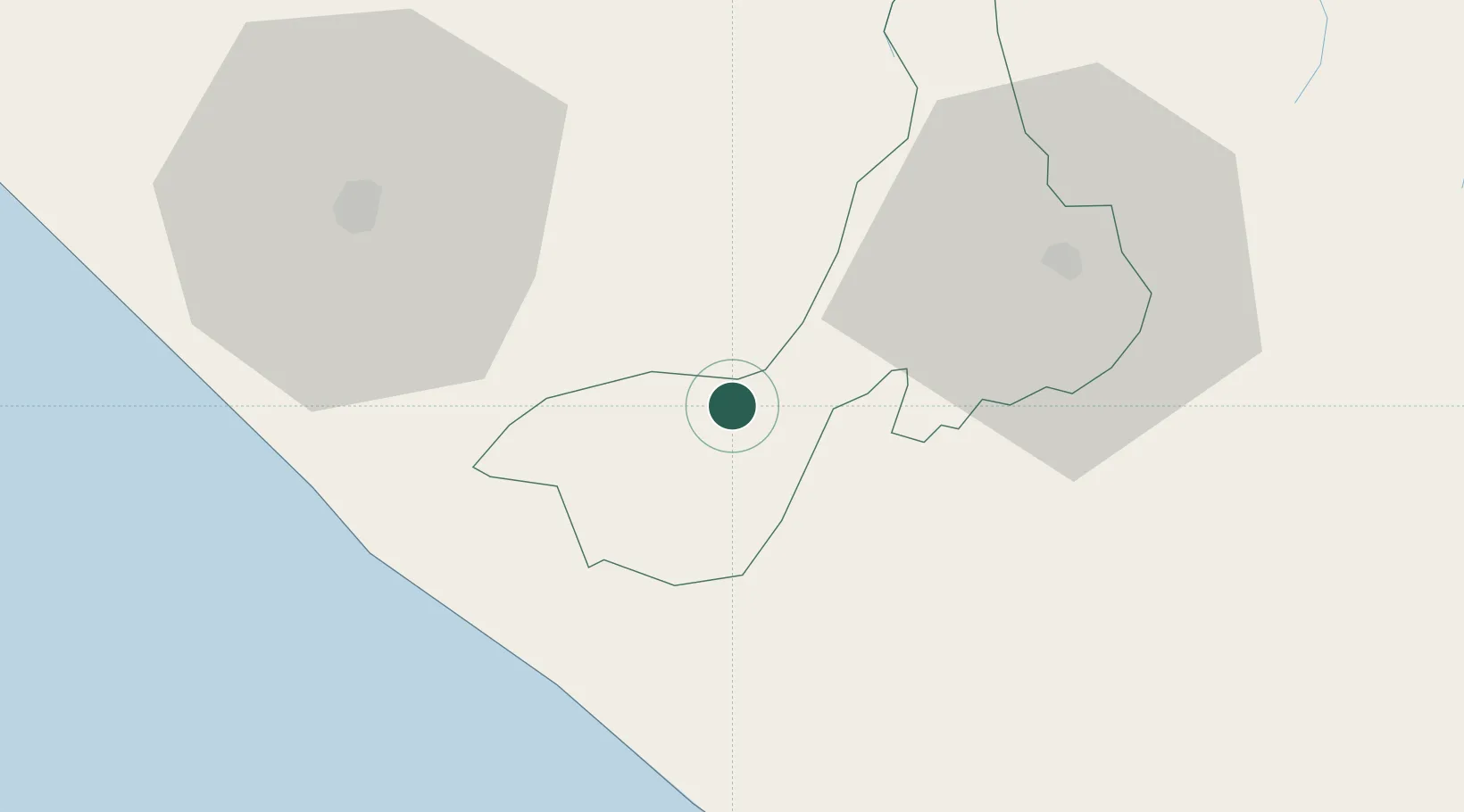
Coatepeque
14.7000°, -91.8667°
105,415
Population
4
Transport functions
Transport Functions
Rail
Road
Airport
Multimodal
Hub Profile
Place type
Provincial seat
Region
Quetzaltenango
Population
105,415
Time zone
America/Guatemala
Elevation
500 m
Location
Nearby Logistics Neighbours
Cities
- 1Ciudad Tecún Umán31 km
- 2Champerico45 km
- 3San Antonio Suchitepéquez52 km
- 4Nahualate54 km
- 5Puerto Madero58 km
Ports
- 1Puerto Madero63 km
- 2Puerto Quetzal144 km
- 3Acajutla249 km
- 4Santo Tomas De Castilla366 km
- 5Puerto Barrios369 km
Airports
- 1Retalhuleu Airport27 km
- 2Quezaltenango Airport43 km
- 3Tapachula International Airport55 km
- 4Huehuetenango Airport79 km
- 5San José Airport140 km
Trade Zones
- 1Special Economic Zone of Puerto Chiapas58 km
- 2Grupo Zeta Free Zone135 km
- 3Zona Franca Cropa144 km
- 4Zona Franca 10247 km
- 5Zona Franca Santa Ana262 km
DatabookThe Record of Consolidated Knowledge
Guatemala beyond logistics?