UN/LOCODE hub · Guatemala
GTSAA
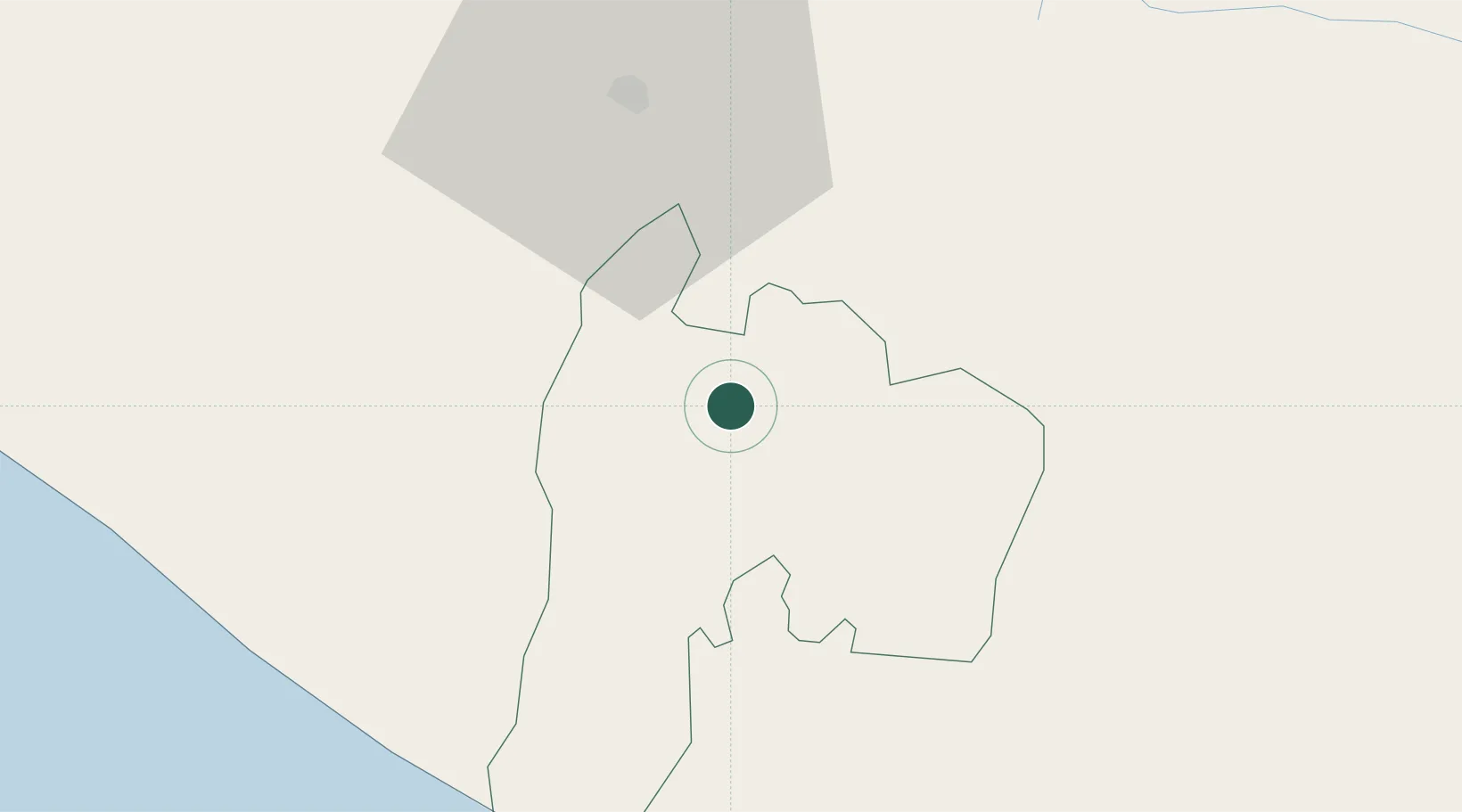
San Antonio Suchitepéquez
14.5333°, -91.4167°
13,666
Population
2
Transport functions
Transport Functions
Rail
Road
Hub Profile
Place type
Provincial seat
Region
Suchitepeque
Population
13,666
Time zone
America/Guatemala
Elevation
396 m
Location
Nearby Logistics Neighbours
Cities
- 1Nahualate2 km
- 2Río Bravo18 km
- 3Santa Bárbara23 km
- 4Cocales29 km
- 5Patulul30 km
Ports
- 1Puerto Quetzal96 km
- 2Puerto Madero113 km
- 3Acajutla198 km
- 4Santo Tomas De Castilla327 km
- 5Puerto Barrios331 km
Airports
- 1Retalhuleu Airport30 km
- 2Quezaltenango Airport38 km
- 3Huehuetenango Airport88 km
- 4San José Airport91 km
- 5La Aurora International Airport96 km
Trade Zones
- 1Grupo Zeta Free Zone84 km
- 2Zona Franca Cropa96 km
- 3Special Economic Zone of Puerto Chiapas108 km
- 4Zona Franca 10195 km
- 5Zona Franca Santa Ana210 km
DatabookThe Record of Consolidated Knowledge
Guatemala beyond logistics?