Transport Functions
Port
Rail
Road
Multimodal
Fixed Transport
Hub Profile
Place type
Provincial seat
Region
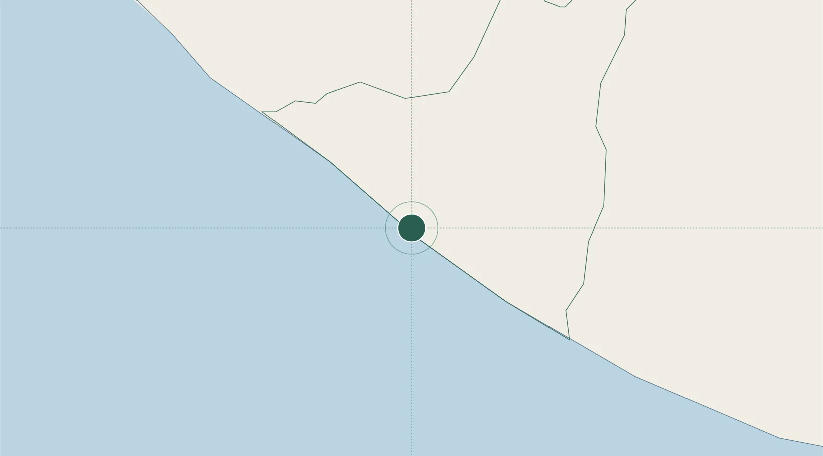
Retalhuleu
Population
9,941
Time zone
America/Guatemala
Elevation
1 m
Location
Nearby Logistics Neighbours
Cities
- 1Coatepeque45 km
- 2Ciudad Tecún Umán48 km
- 3San Antonio Suchitepéquez60 km
- 4Nahualate61 km
- 5Río Bravo66 km
Ports
- 1Puerto Madero73 km
- 2Puerto Quetzal128 km
- 3Acajutla235 km
- 4Santo Tomas De Castilla387 km
- 5Puerto Barrios390 km
Airports
- 1Retalhuleu Airport34 km
- 2Tapachula International Airport74 km
- 3Quezaltenango Airport77 km
- 4Huehuetenango Airport121 km
- 5San José Airport123 km
Trade Zones
- 1Special Economic Zone of Puerto Chiapas69 km
- 2Grupo Zeta Free Zone139 km
- 3Zona Franca Cropa153 km
- 4Zona Franca 10242 km
- 5Zona Franca Santa Ana258 km
DatabookThe Record of Consolidated Knowledge
Guatemala beyond logistics?