UN/LOCODE hub · Guatemala
GTCTU
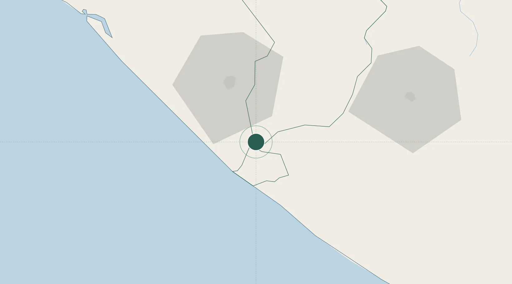
Ciudad Tecún Umán
14.6667°, -92.1500°
11,432
Population
2
Transport functions
Transport Functions
Rail
Road
Hub Profile
Place type
Provincial seat
Region
San Marcos
Population
11,432
Time zone
America/Guatemala
Elevation
29 m
Location
Nearby Logistics Neighbours
Cities
- 1Puerto Madero28 km
- 2Coatepeque31 km
- 3Champerico48 km
- 4San Antonio Suchitepéquez80 km
- 5Nahualate82 km
Ports
- 1Puerto Madero33 km
- 2Puerto Quetzal168 km
- 3Acajutla274 km
- 4Salina Cruz367 km
- 5Santo Tomas De Castilla396 km
Airports
- 1Tapachula International Airport28 km
- 2Retalhuleu Airport51 km
- 3Quezaltenango Airport73 km
- 4Huehuetenango Airport100 km
- 5San José Airport163 km
Trade Zones
- 1Special Economic Zone of Puerto Chiapas28 km
- 2Grupo Zeta Free Zone164 km
- 3Zona Franca Cropa174 km
- 4Zona Franca 10275 km
- 5Zona Franca Santa Ana291 km
DatabookThe Record of Consolidated Knowledge
Guatemala beyond logistics?