Transport Functions
Rail
Road
Hub Profile
Place type
Regional capital
Region
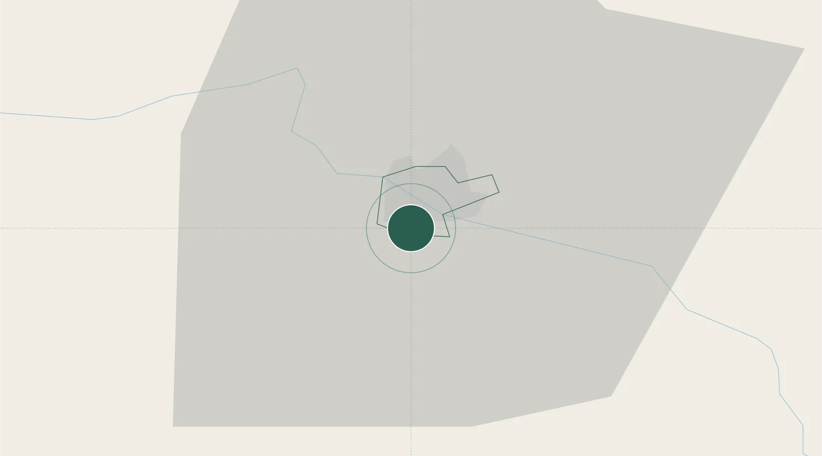
Jēkabpils Municipality
Population
21,014
Time zone
Europe/Riga
Elevation
83 m
Location
Nearby Logistics Neighbours
Cities
- 1Livani24 km
- 2Koknese32 km
- 3Akniste36 km
- 4Aizkraukle41 km
- 5Madona47 km
Ports
- 1Riga119 km
- 2Salacgriva162 km
- 3Parnu227 km
- 4Virtsu271 km
- 5Roomassaare278 km
Airports
- 1Jēkabpils Air Base6 km
- 2Daugavpils International Airport78 km
- 3Panevėžys Air Base120 km
- 4Riga International Airport125 km
- 5Barysiai Airfield149 km
Trade Zones
- 1Latgale SEZ85 km
- 2Rēzekne SEZ85 km
- 3Free Port of Riga119 km
- 4Panevėžys Free Economic Zone156 km
- 5ō iauliai Free Economic Zone167 km
DatabookThe Record of Consolidated Knowledge
Latvia beyond logistics?