Transport Functions
Rail
Airport
Hub Profile
Place type
Regional capital
Region
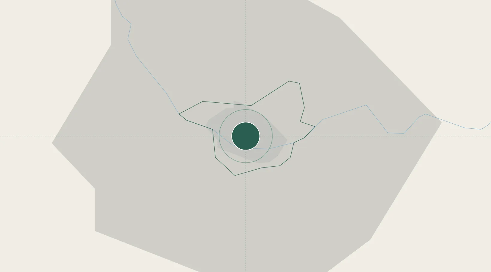
Daugavpils
Population
78,126
Time zone
Europe/Riga
Elevation
103 m
Location
Nearby Logistics Neighbours
Ports
- 1Riga191 km
- 2Salacgriva241 km
- 3Parnu304 km
- 4Virtsu350 km
- 5Roomassaare356 km
Airports
- 1Daugavpils International Airport11 km
- 2Jēkabpils Air Base83 km
- 3Panevėžys Air Base131 km
- 4Vilnius International Airport160 km
- 5Jonava Air Base168 km
Trade Zones
- 1Rēzekne SEZ62 km
- 2Latgale SEZ62 km
- 3Panevėžys Free Economic Zone156 km
- 4Kėdainiai Free Economic Zone174 km
- 5Kaunas Free Economic Zone191 km
DatabookThe Record of Consolidated Knowledge
Latvia beyond logistics?