Transport Functions
Multimodal
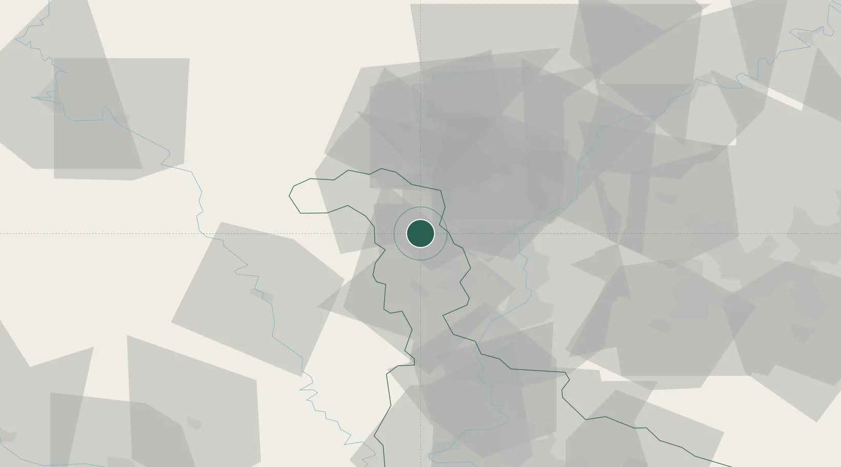
Hub Profile
Place type
Populated place
Region
Grand Est
Population
138
Time zone
Europe/Paris
Elevation
363 m
Location
Nearby Logistics Neighbours
Cities
- 1Havange10 km
- 2Hayange13 km
- 3Audun-le-Tiche14 km
- 4Spincourt15 km
- 5Rosselange17 km
Airports
Trade Zones
- 1ZFU Woippy-Metz30 km
- 2ZFU Metz35 km
- 3Luxembourg Free Port41 km
- 4ZFU Maxéville, Laxou, et de Nancy75 km
- 5ZFU La Cité Behren-lès-Forbach80 km
DatabookThe Record of Consolidated Knowledge
France beyond logistics?