UN/LOCODE hub · United States
USVBM

Van Buren Township

42.2412°, -83.4479°
2
Transport functions

Transport Functions

Rail
Road
UN/LOCODE

Hub Profile

Region
MI
GeoNames
Logistics facilities
1
UN/LOCODE

Location

Location of USVBM
Natural Earth 10m (public domain) · MI · USVBM · 42.24, -83.45GoogleOSMYandex

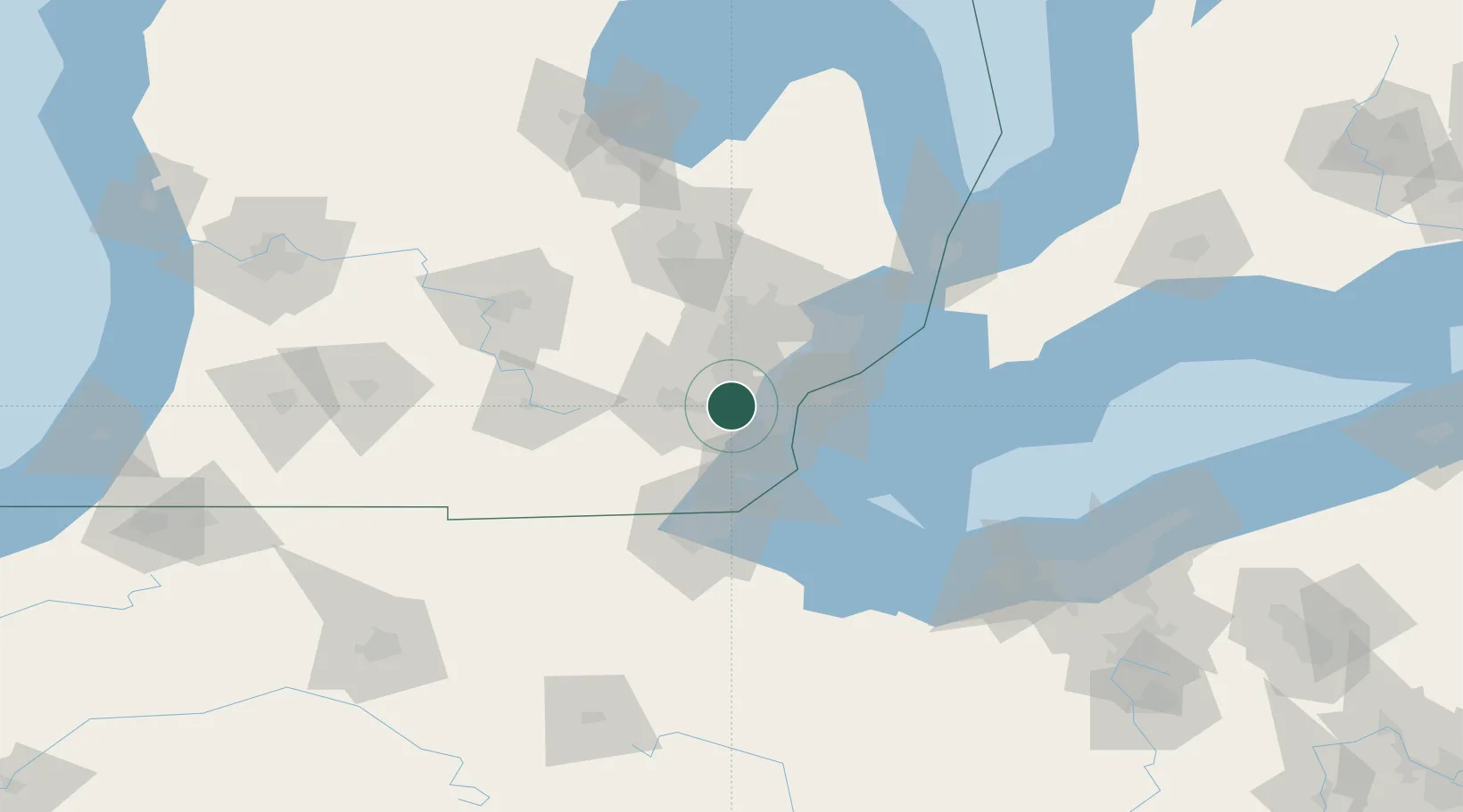
Nearby Logistics Neighbours

Cities
  1. 1New Boston9 km
  2. 2Willow Run10 km
  3. 3Willis13 km
  4. 4Dearborn Heights15 km
  5. 5Brownstown Township18 km
Nearest neighbours — logibook spatial index (haversine) over the source coordinates
Ports
  1. 1Wyandotte25 km
  2. 2Trenton26 km
  3. 3Amherstburg33 km
  4. 4Windsor35 km
  5. 5Detroit36 km
Nearest neighbours — logibook spatial index (haversine) over the source coordinates
Airports
  1. 1Willow Run Airport7 km
  2. 2Detroit Metropolitan Wayne County Airport8 km
  3. 3Coleman A. Young Municipal Airport41 km
  4. 4Windsor International Airport41 km
  5. 5Oakland County International Airport47 km
Nearest neighbours — logibook spatial index (haversine) over the source coordinates
Trade Zones
  1. 1FTZ No. 070 Detroit21 km
  2. 2Windsor - Essex Foreign Trade Zone36 km
  3. 3FTZ No. 008 Toledo66 km
  4. 4FTZ No. 140 Flint90 km
  5. 5FTZ No. 284 Genesee County95 km
Nearest neighbours — logibook spatial index (haversine) over the source coordinates
DatabookThe Record of Consolidated Knowledge
United States beyond logistics?
Browse databook

All Sources

LocationsUN/LOCODE
UN/LOCODE — free
Portsthe NGA World Port Index
Public domain (US gov)
AirportsOurAirports
Public domain
Trade Zonesthe World Bank SEZ database
CC BY 4.0
Trade ZonesOpen Zone Map
CC BY
← United States locations