UN/LOCODE hub · United States
USDHG
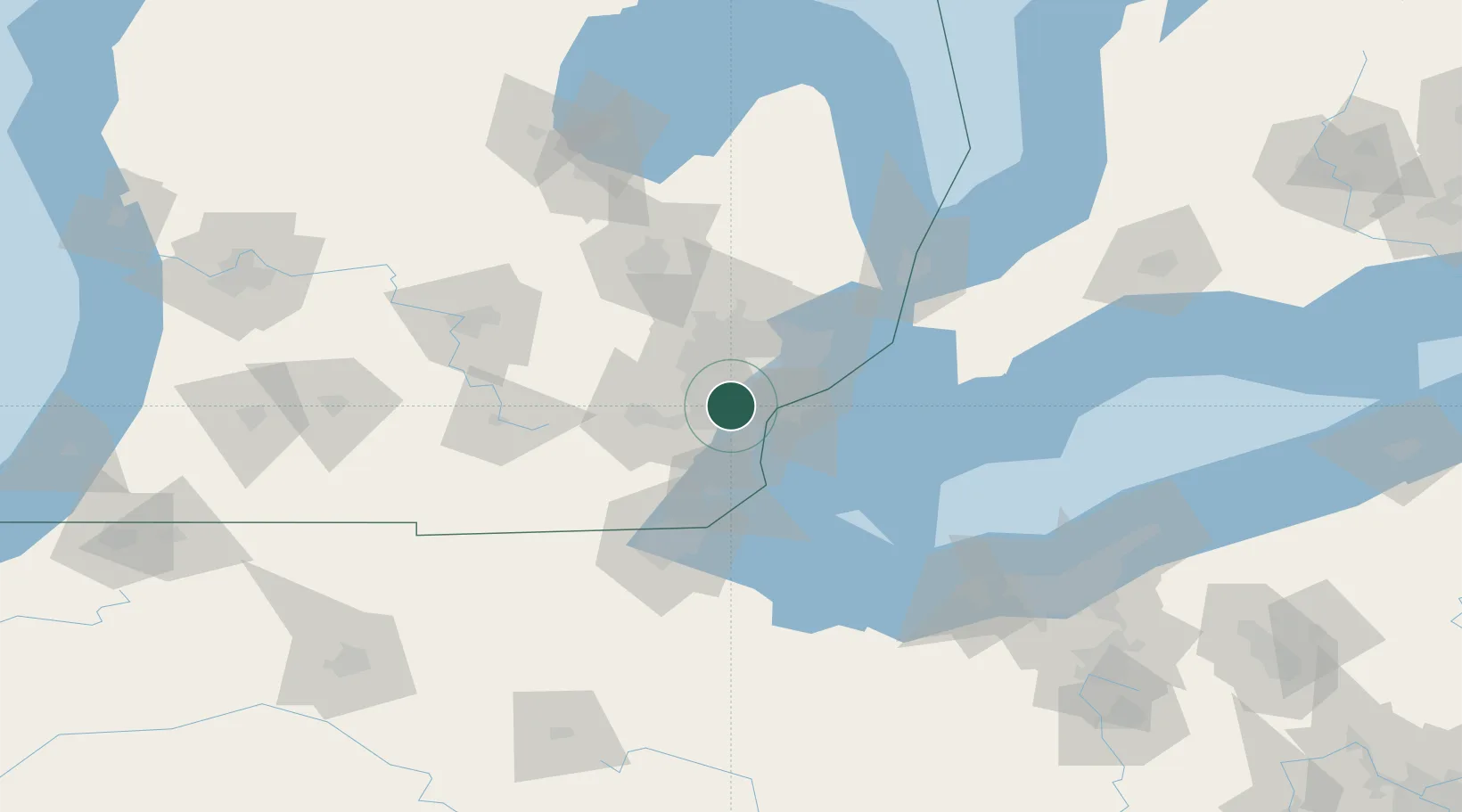
Dearborn Heights
42.3167°, -83.3000°
56,145
Population
2
Transport functions
Transport Functions
Road
Multimodal
Hub Profile
Place type
Populated place
Region
Michigan
Population
56,145
Time zone
America/Detroit
Elevation
189 m
Location
Nearby Logistics Neighbours
Cities
- 1Detroit9 km
- 2Melvindale12 km
- 3Van Buren Township15 km
- 4New Boston19 km
- 5Brownstown Township19 km
Ports
- 1Wyandotte18 km
- 2Windsor22 km
- 3Detroit22 km
- 4Trenton23 km
- 5Amherstburg29 km
Airports
Trade Zones
- 1FTZ No. 070 Detroit6 km
- 2Windsor - Essex Foreign Trade Zone23 km
- 3FTZ No. 008 Toledo76 km
- 4FTZ No. 210 St. Clair County85 km
- 5FTZ No. 140 Flint86 km
DatabookThe Record of Consolidated Knowledge
United States beyond logistics?