UN/LOCODE hub · United States
USIIS

Willis

42.1500°, -83.5500°
2
Transport functions

Transport Functions

Road
Multimodal
UN/LOCODE

Hub Profile

Place type
Populated place
GeoNames
Region
Michigan
GeoNames
Time zone
America/Detroit
GeoNames
Elevation
209 m
GeoNames

Location

Location of USIIS
Natural Earth 10m (public domain) · Michigan · USIIS · 42.15, -83.55GoogleOSMYandex

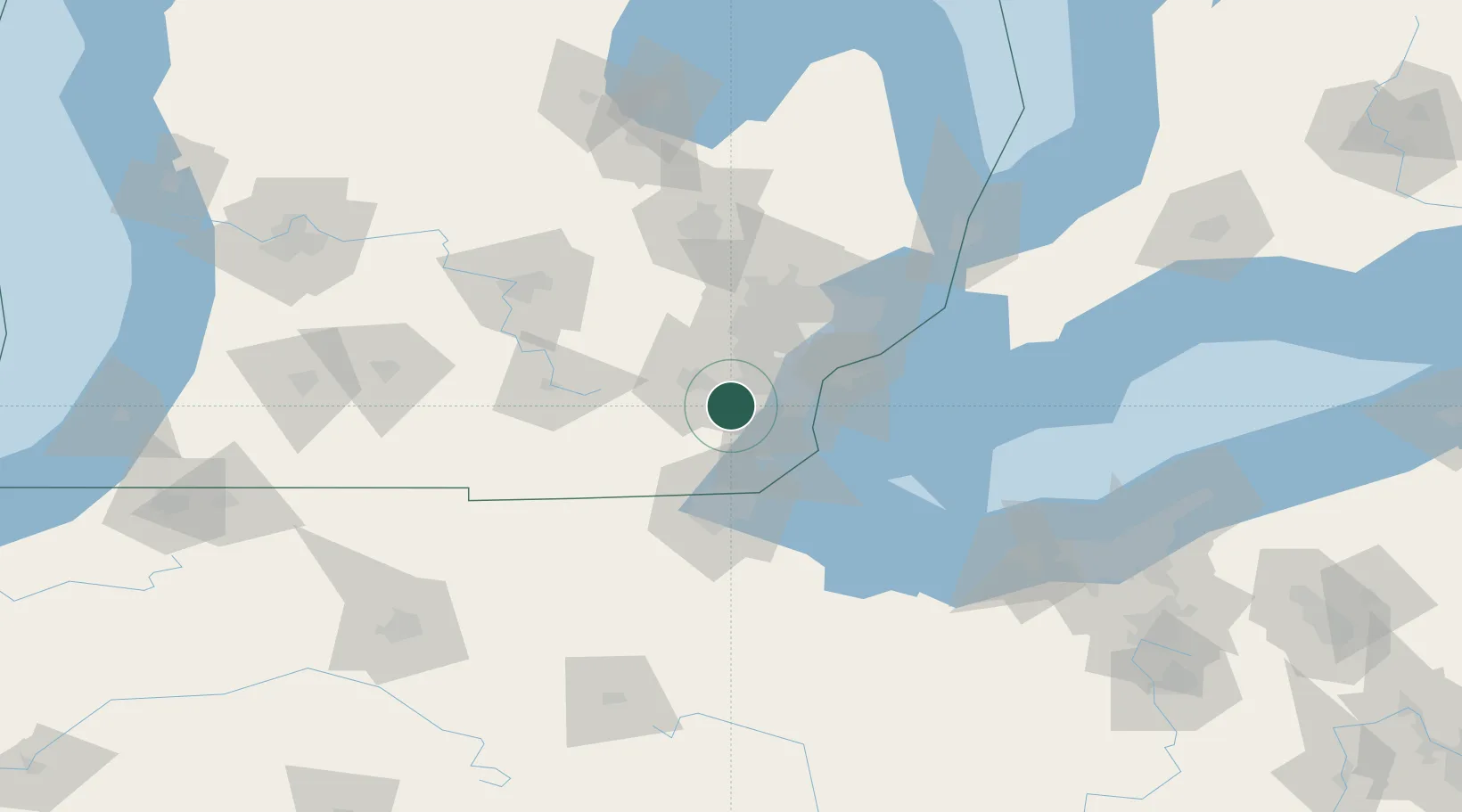
Nearby Logistics Neighbours

Cities
  1. 1Willow Run11 km
  2. 2New Boston13 km
  3. 3Van Buren Township13 km
  4. 4Brownstown Township23 km
  5. 5South Rockwood25 km
Nearest neighbours — logibook spatial index (haversine) over the source coordinates
Ports
  1. 1Trenton32 km
  2. 2Wyandotte33 km
  3. 3Monroe35 km
  4. 4Amherstburg38 km
  5. 5Windsor46 km
Nearest neighbours — logibook spatial index (haversine) over the source coordinates
Airports
  1. 1Willow Run Airport10 km
  2. 2Detroit Metropolitan Wayne County Airport18 km
  3. 3Windsor International Airport51 km
  4. 4Coleman A. Young Municipal Airport53 km
  5. 5Oakland County International Airport58 km
Nearest neighbours — logibook spatial index (haversine) over the source coordinates
Trade Zones
  1. 1FTZ No. 070 Detroit34 km
  2. 2Windsor - Essex Foreign Trade Zone47 km
  3. 3FTZ No. 008 Toledo55 km
  4. 4FTZ No. 140 Flint98 km
  5. 5FTZ No. 284 Genesee County101 km
Nearest neighbours — logibook spatial index (haversine) over the source coordinates
DatabookThe Record of Consolidated Knowledge
United States beyond logistics?
Browse databook

All Sources

LocationsUN/LOCODE
UN/LOCODE — free
Portsthe NGA World Port Index
Public domain (US gov)
AirportsOurAirports
Public domain
Trade Zonesthe World Bank SEZ database
CC BY 4.0
Trade ZonesOpen Zone Map
CC BY
← United States locations