Transport Functions
Rail
Road
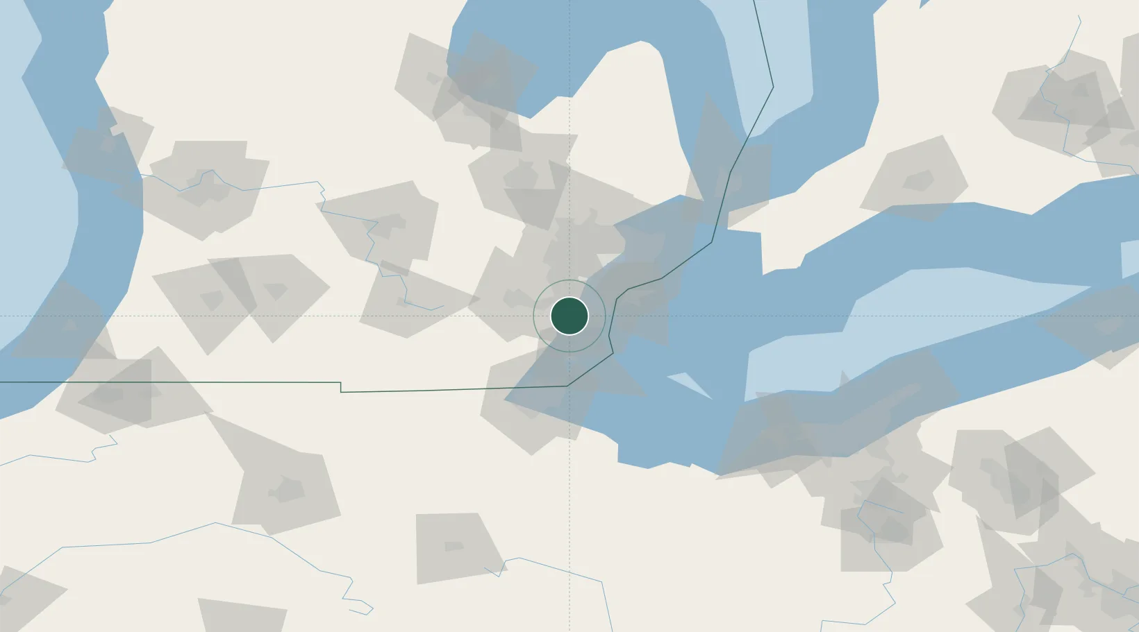
Hub Profile
Place type
Populated place
Region
Michigan
Time zone
America/Detroit
Elevation
194 m
Location
Nearby Logistics Neighbours
Cities
- 1Van Buren Township9 km
- 2Brownstown Township11 km
- 3Willis13 km
- 4Woodhaven14 km
- 5South Rockwood16 km
Ports
- 1Trenton20 km
- 2Wyandotte21 km
- 3Amherstburg26 km
- 4Monroe32 km
- 5Windsor35 km
Airports
Trade Zones
- 1FTZ No. 070 Detroit25 km
- 2Windsor - Essex Foreign Trade Zone35 km
- 3FTZ No. 008 Toledo58 km
- 4FTZ No. 140 Flint99 km
- 5FTZ No. 210 St. Clair County103 km
DatabookThe Record of Consolidated Knowledge
United States beyond logistics?